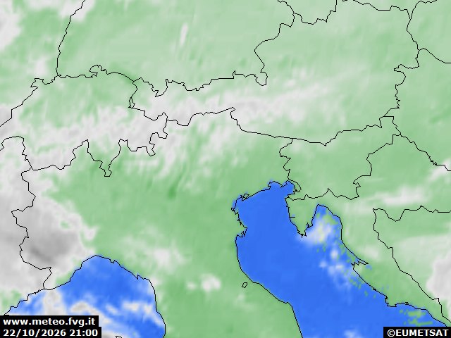
general situation
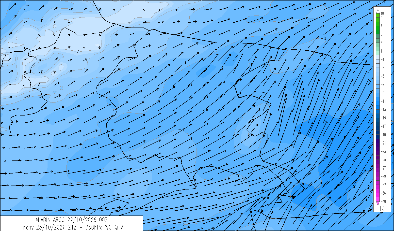
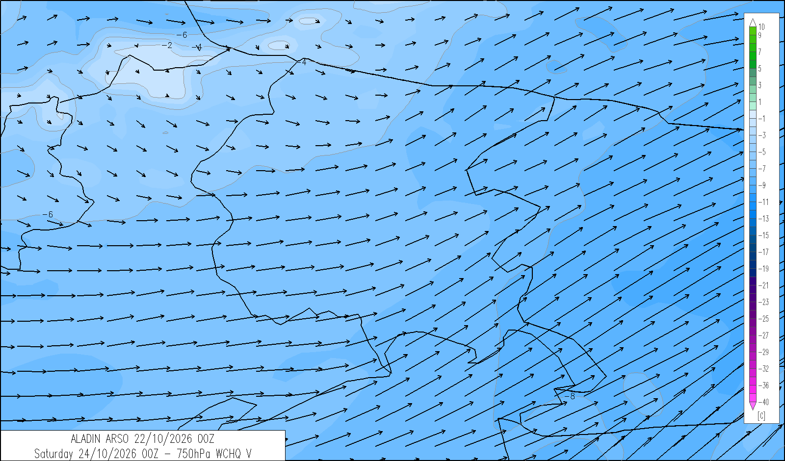
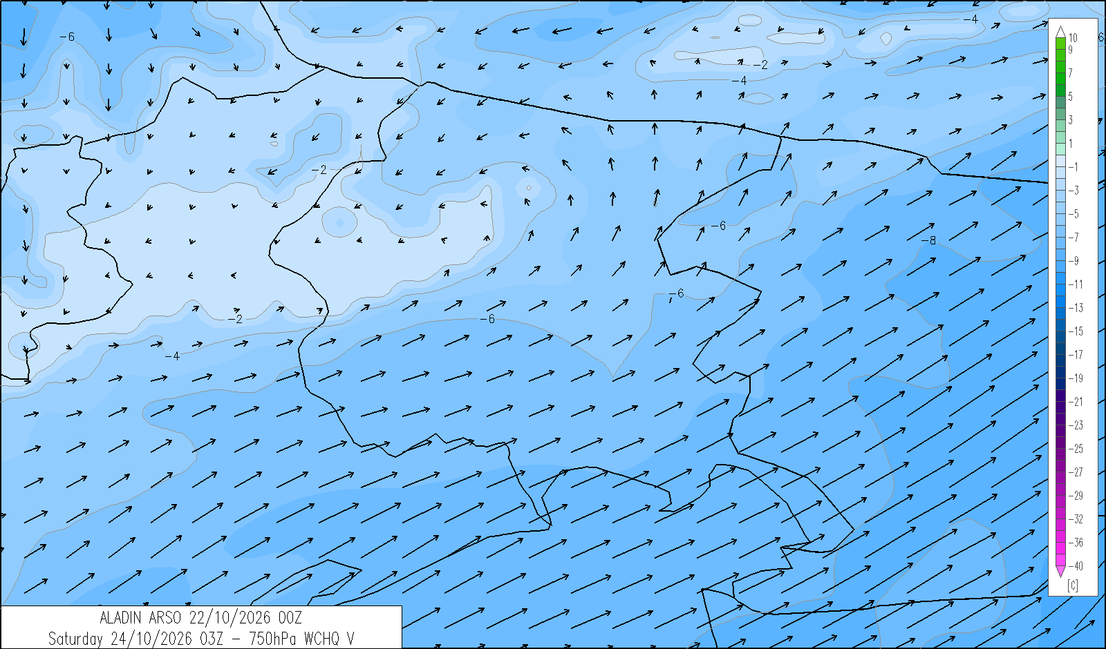
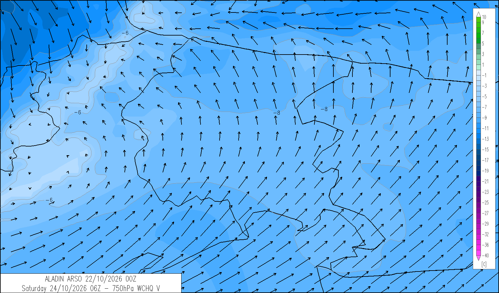
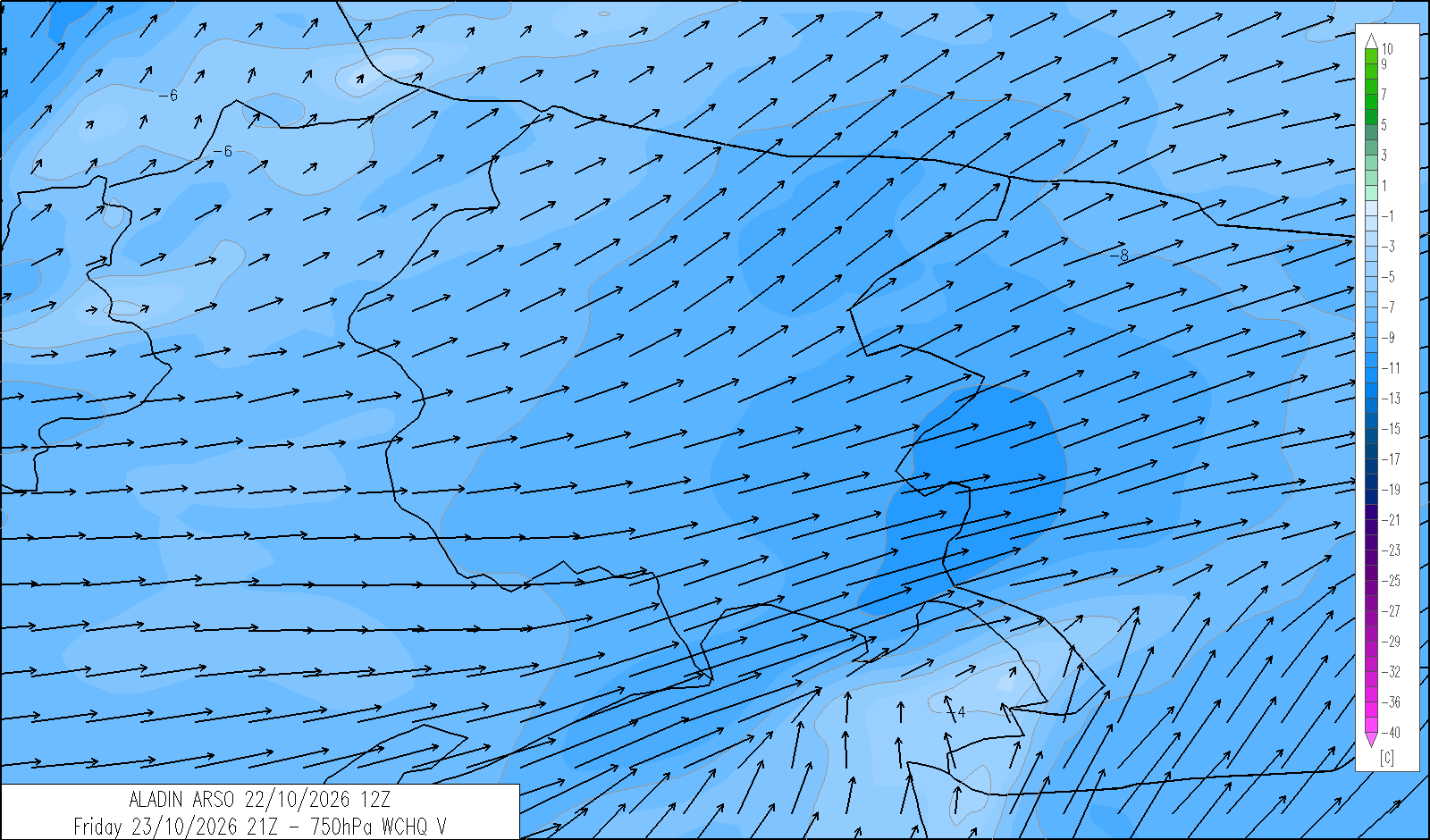
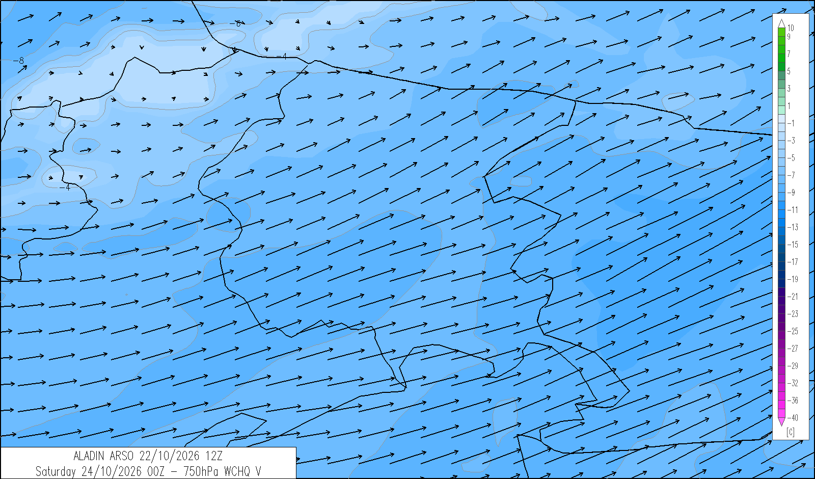
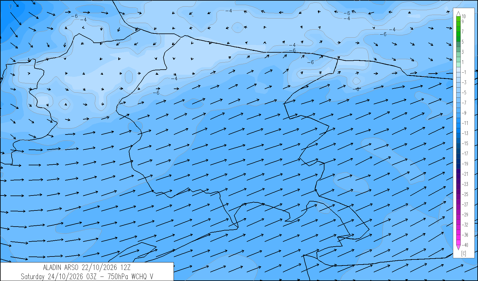
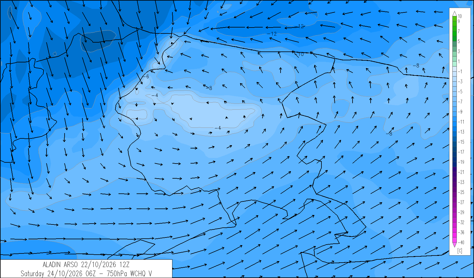
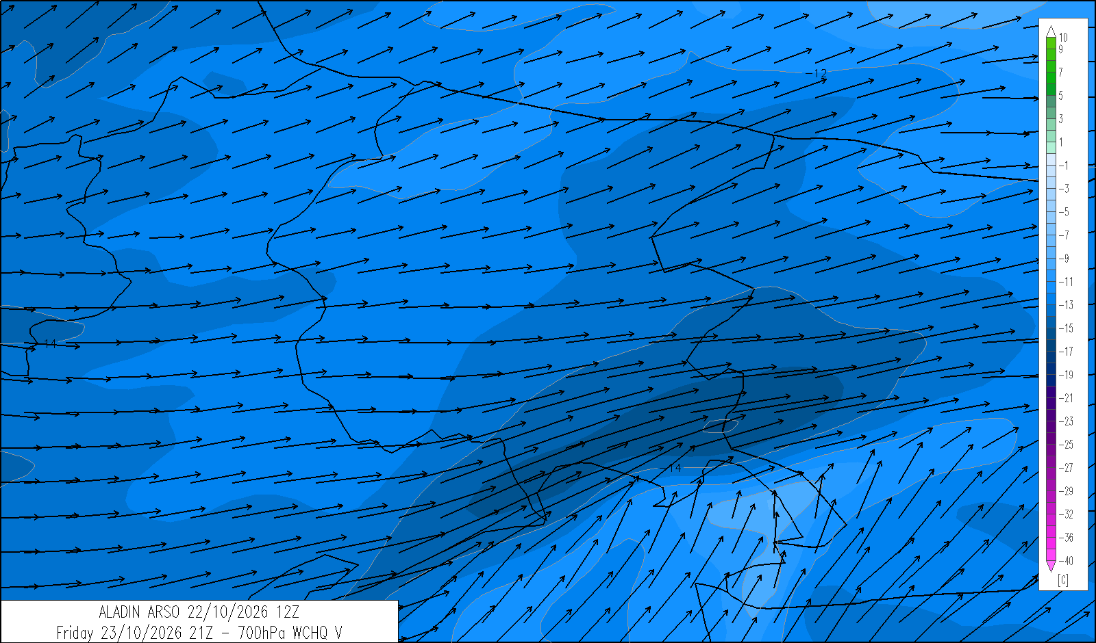
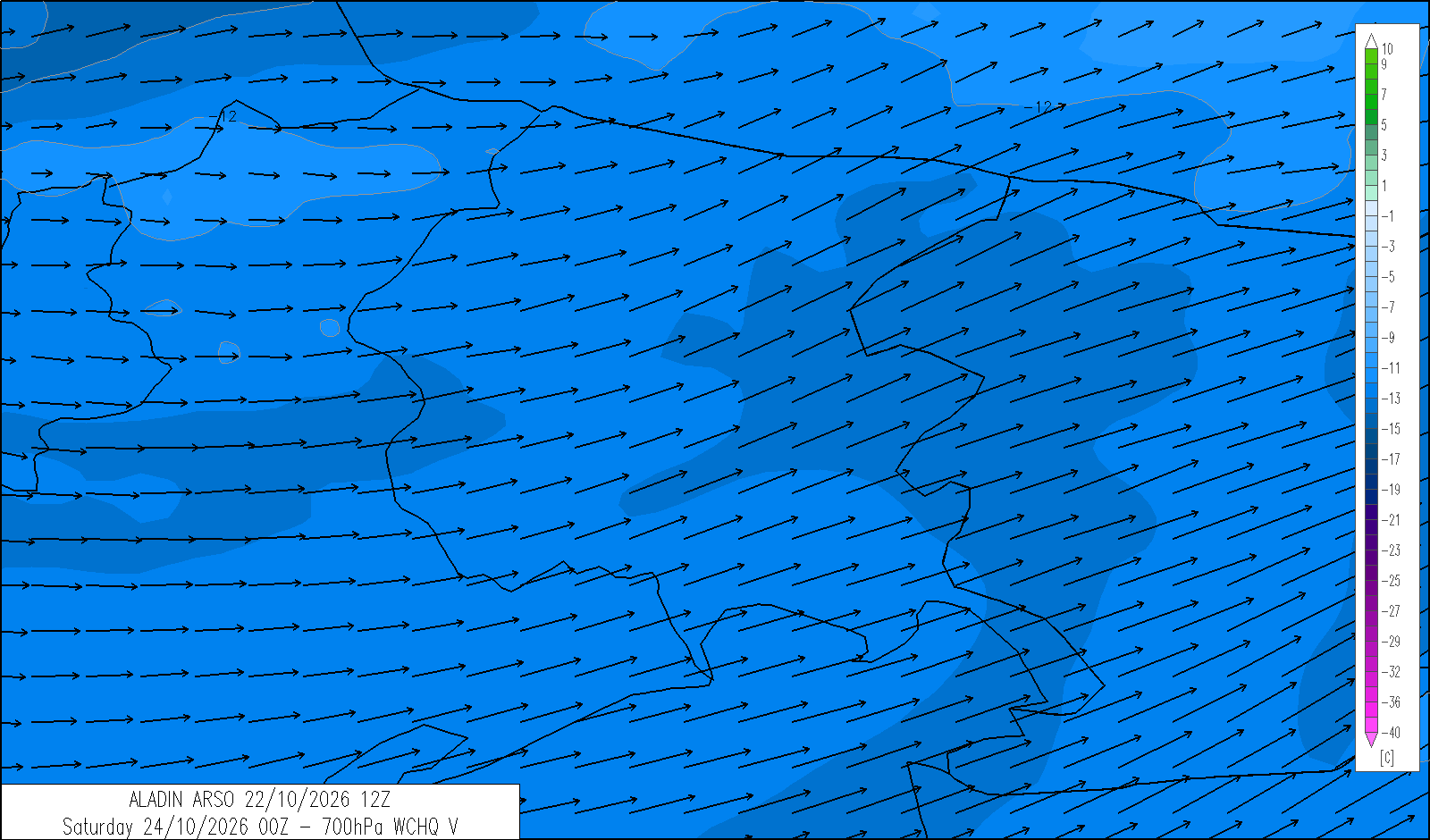
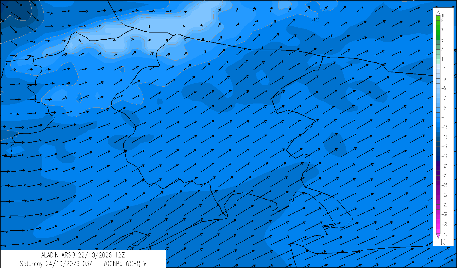
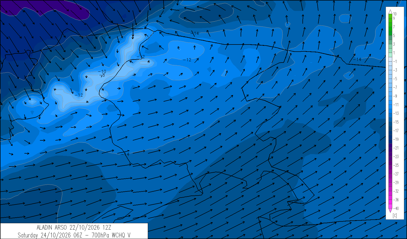
An Atlantic depression will affect the region from Friday evening until Saturday afternoon, bringing cold air at upper levels. From Sunday, a new ridge of high pressure will bring more settled conditions.
forecasts
| 4 | 12 | 20 | |
|---|---|---|---|
| diurnal evolution |
 |
 |
 |
Thursday 22 October
release: 21-10-2026 12:30 CEST
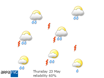
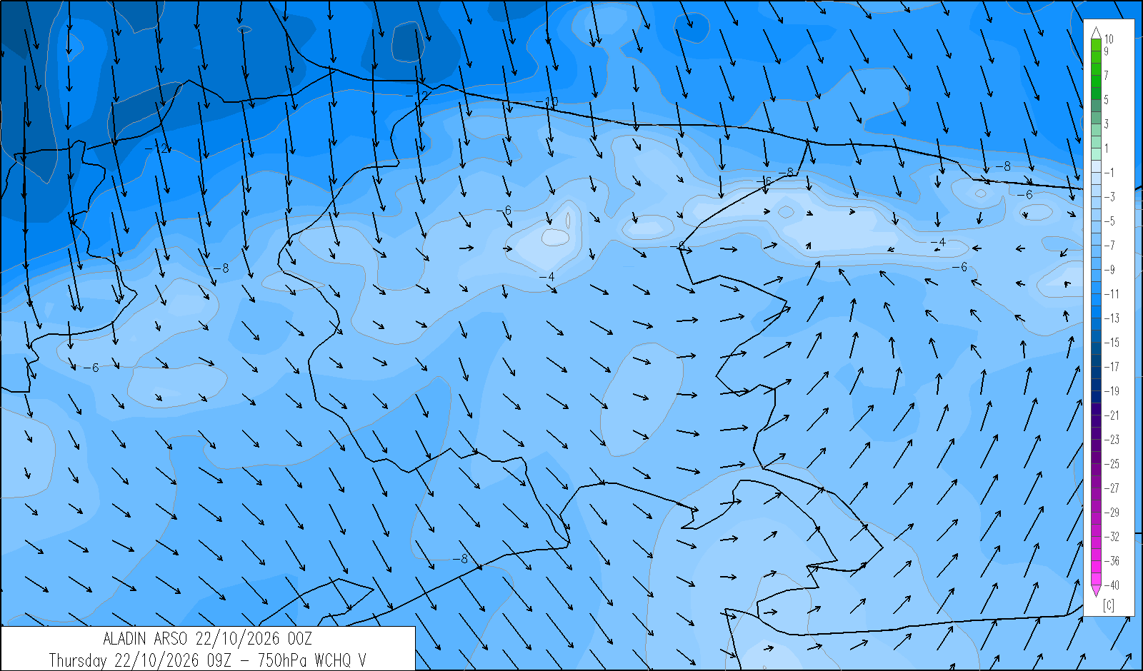
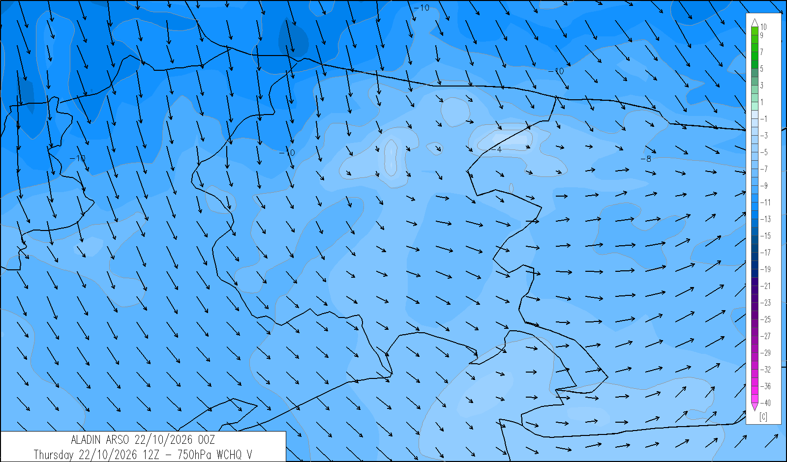
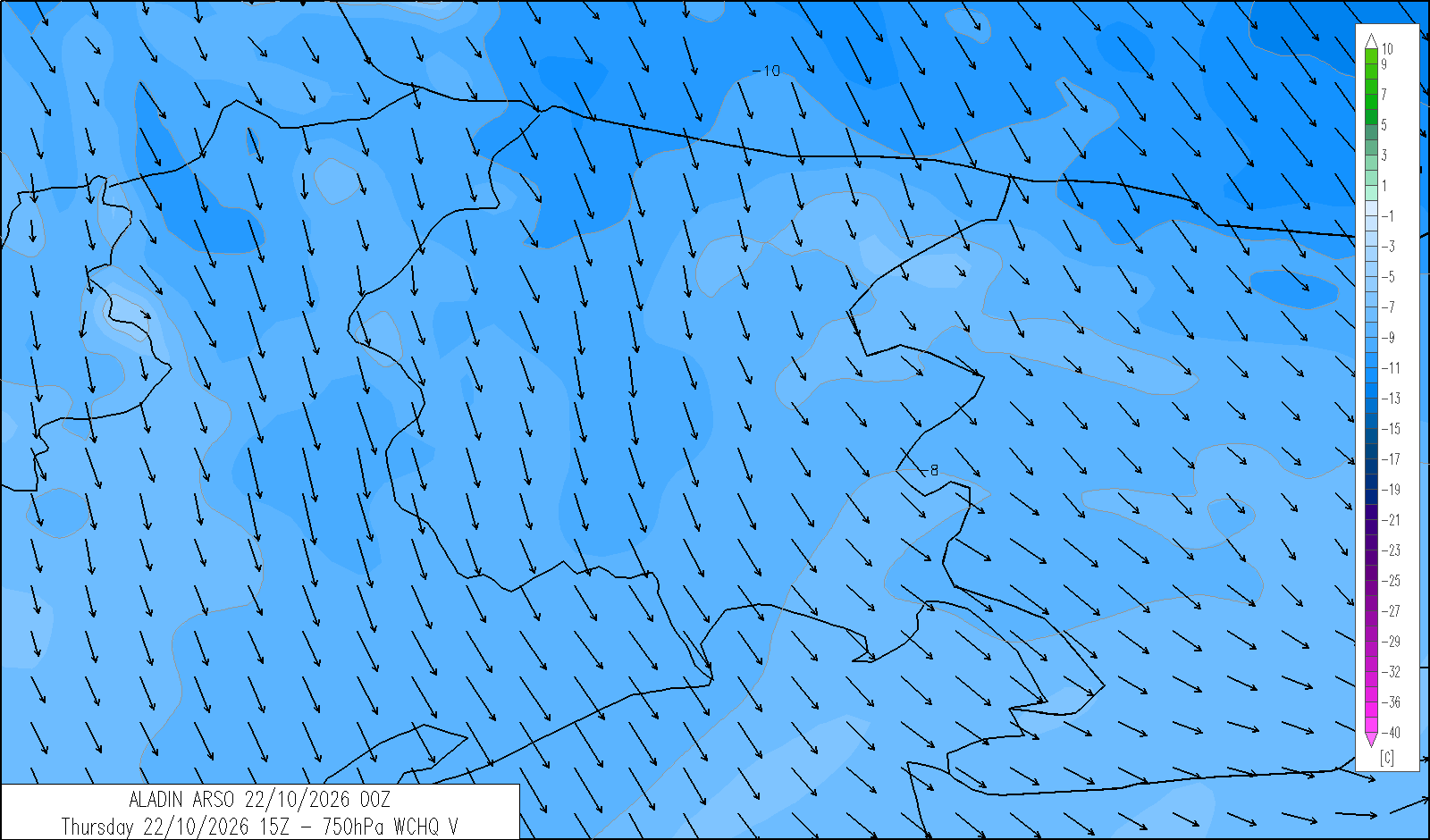
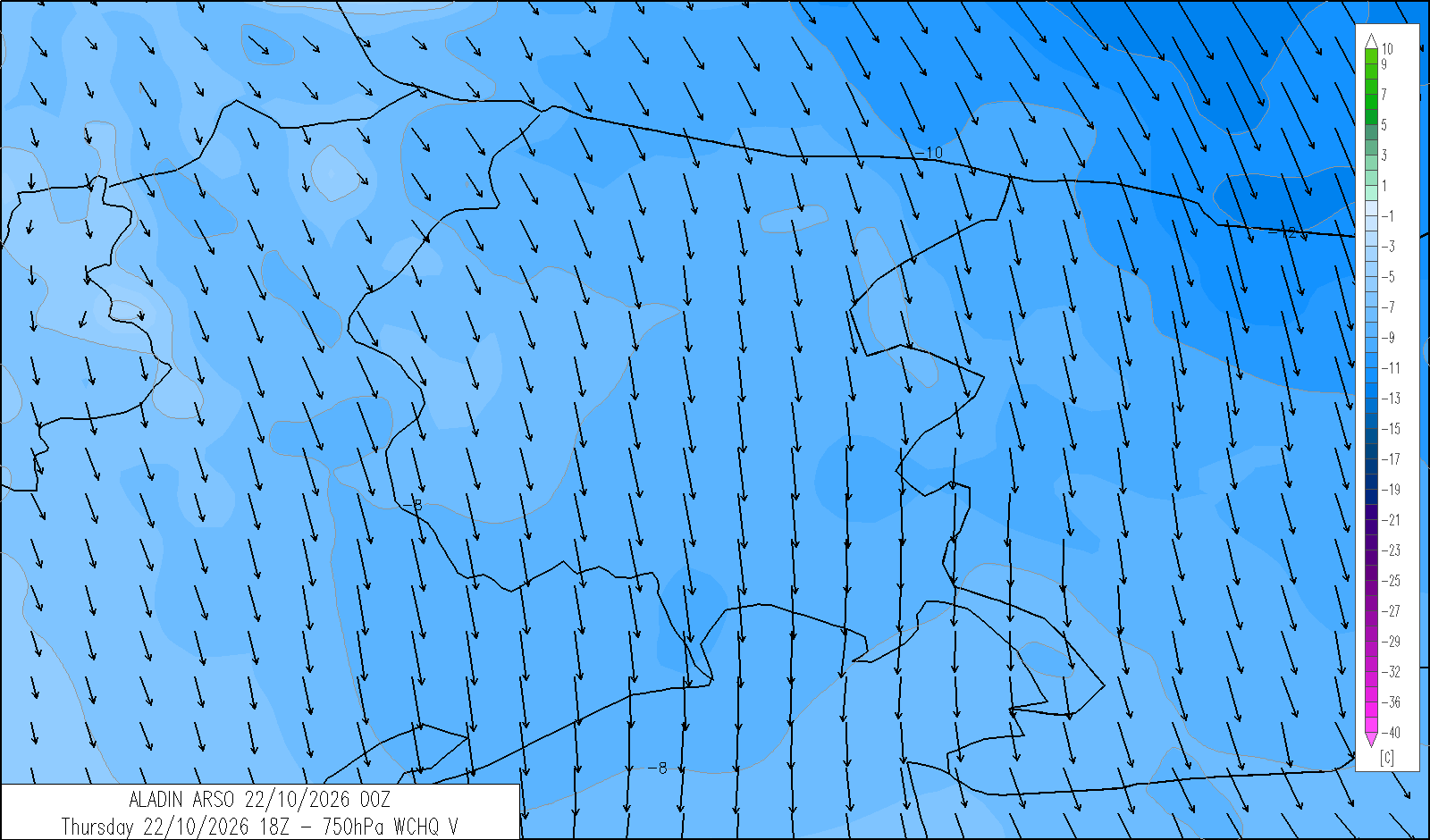
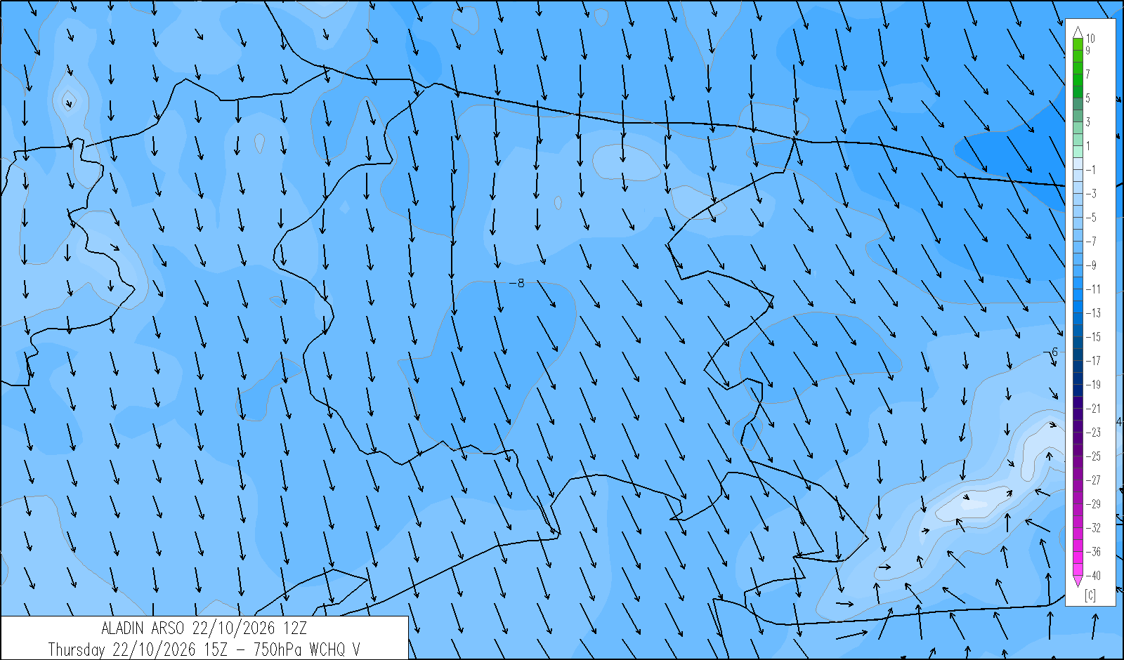
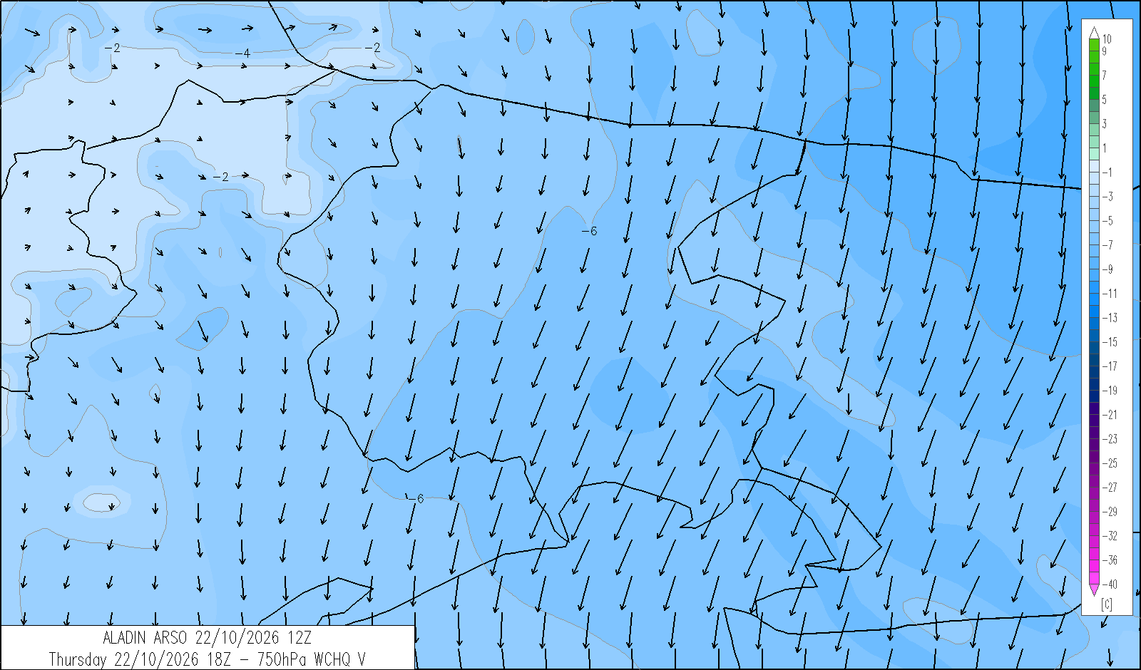
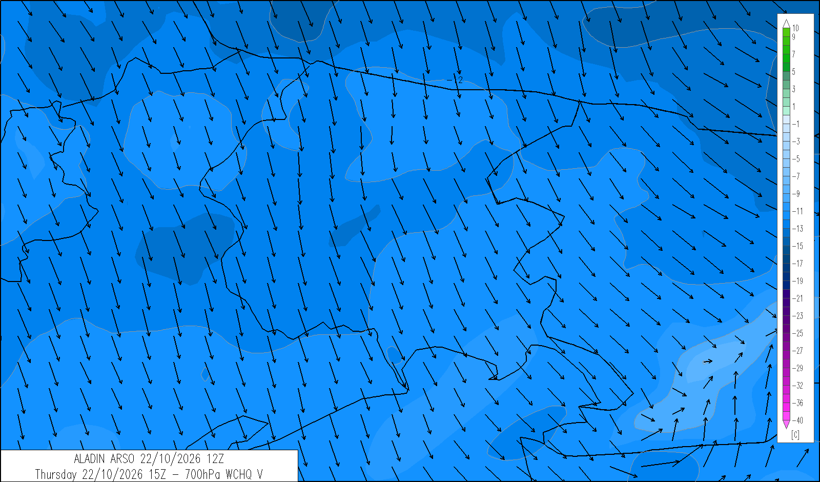
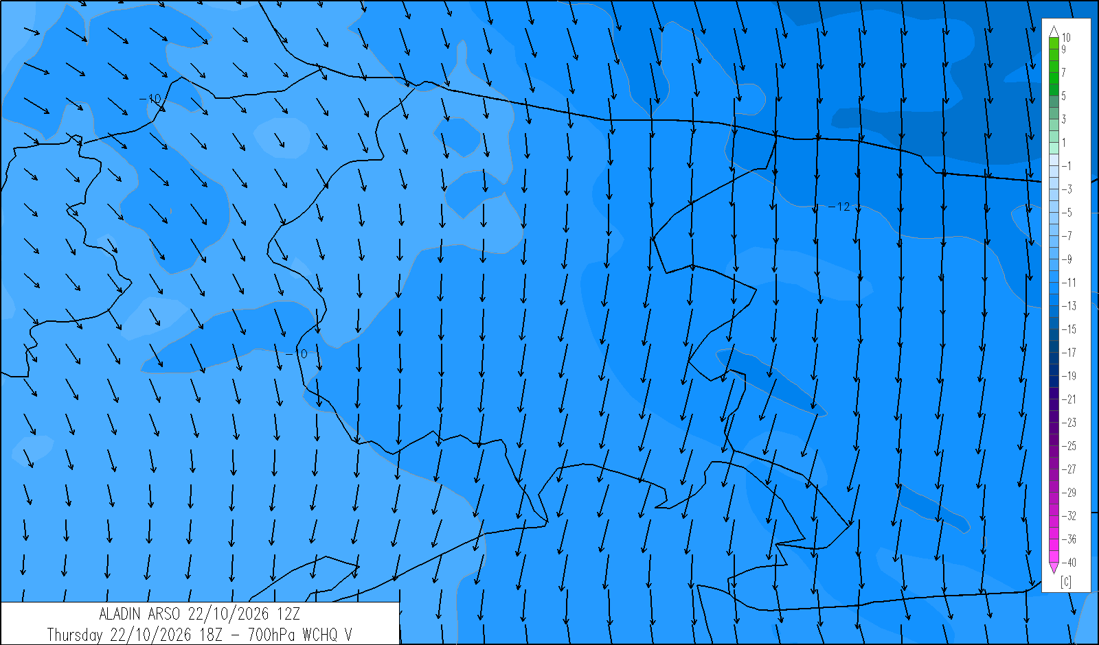
Moderate precipitation overnight and in the morning, especially in the eastern areas, with the snow level around 1500 m, possibly lower in the Julian Alps. Strong north-easterly winds, potentially reaching gale force from the north over the Pre-Alps. Conditions will improve during the day, starting in the west and in Carnia, with partly cloudy skies developing in the afternoon. It will turn rather cold in the valleys from late evening.
| average temp. at 1000 m (°C) | 7 |
| average temp. at 2000 m (°C) | 0 |
| prob. of widespread precipitations (%) | 70 |
| thunderstorms probability (%) | 20 |
| thermal zero height (m) | 2000 |
| snowfall level (m) | 1500 |
| mean wind speed & direction at 3000 m (m/s) | N 10 |
| 4 | 12 | 20 | |
|---|---|---|---|
| diurnal evolution |
|
|
 |
Friday 23 October
release: 22-10-2026 13:21 CEST
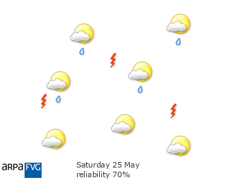
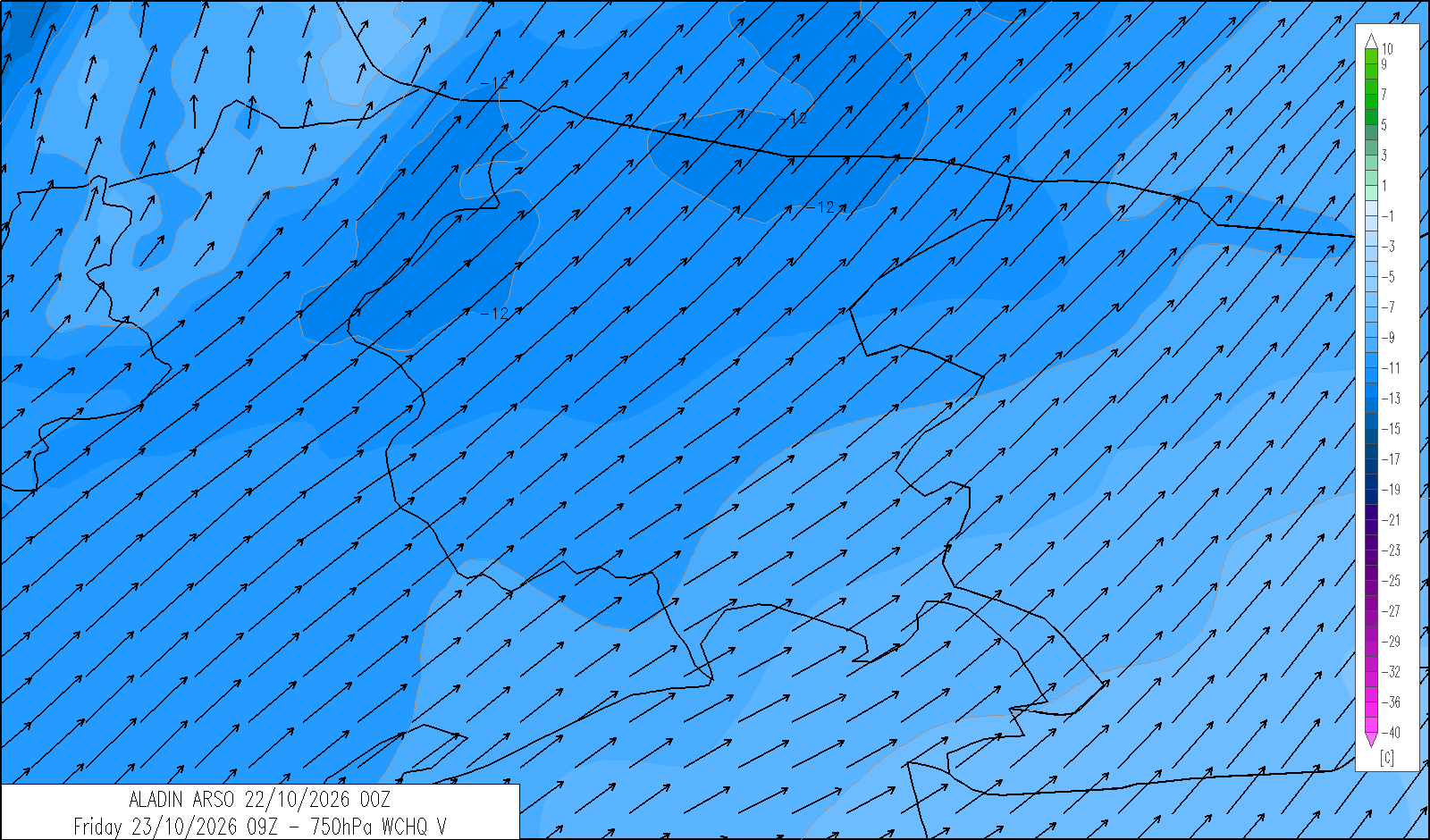
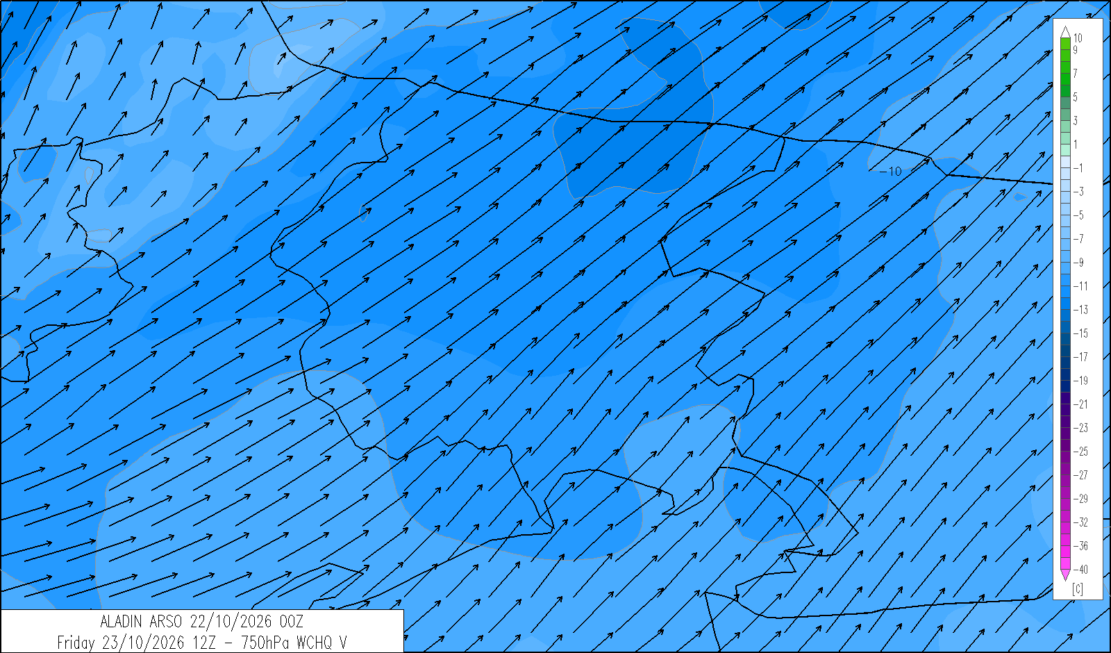
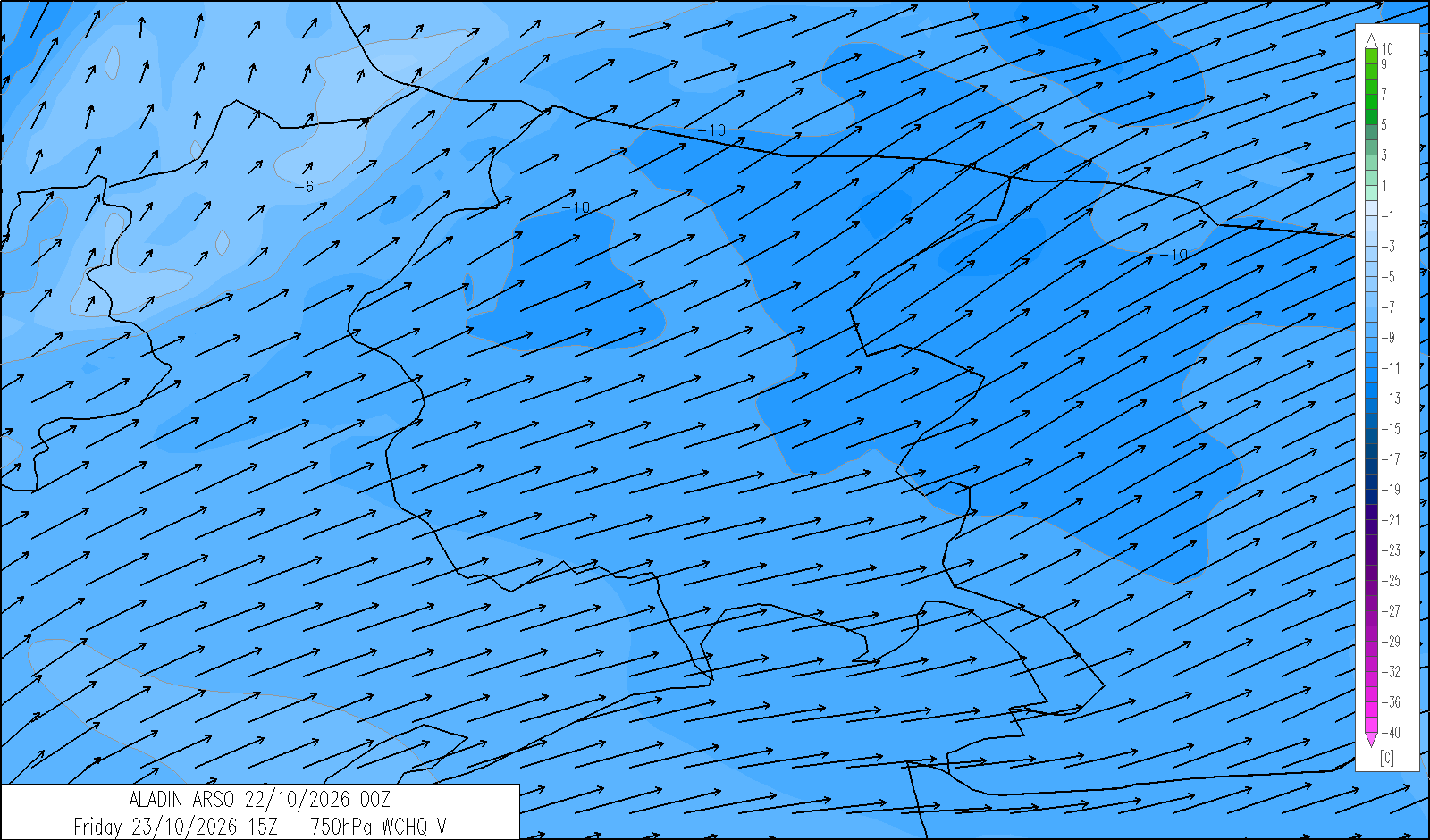
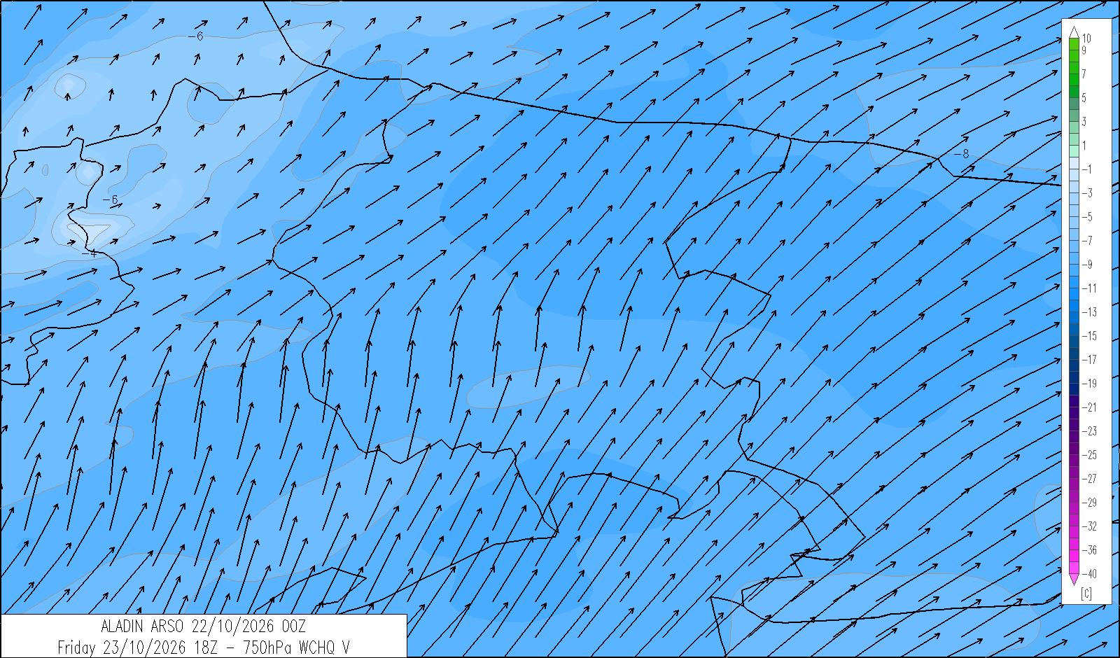
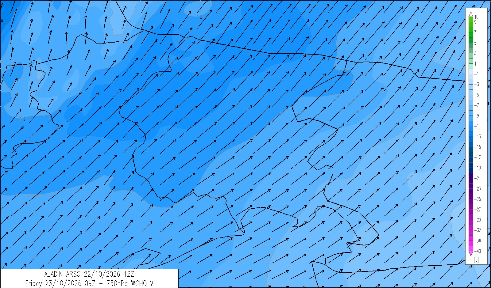
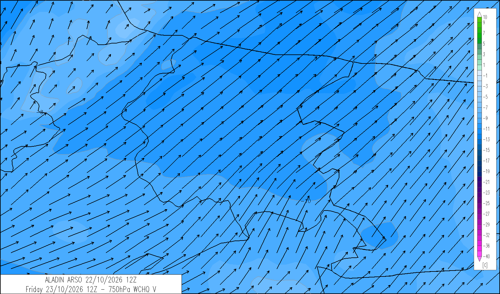
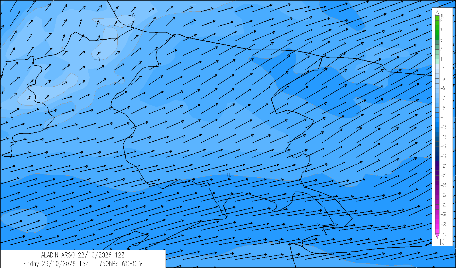
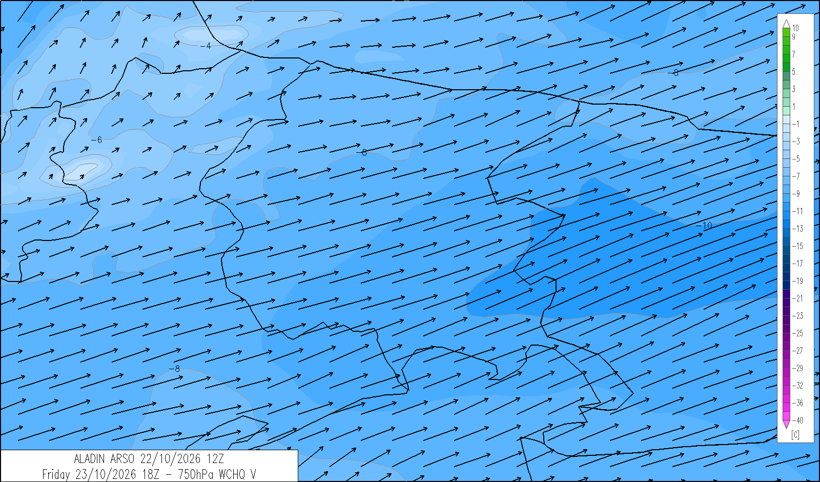
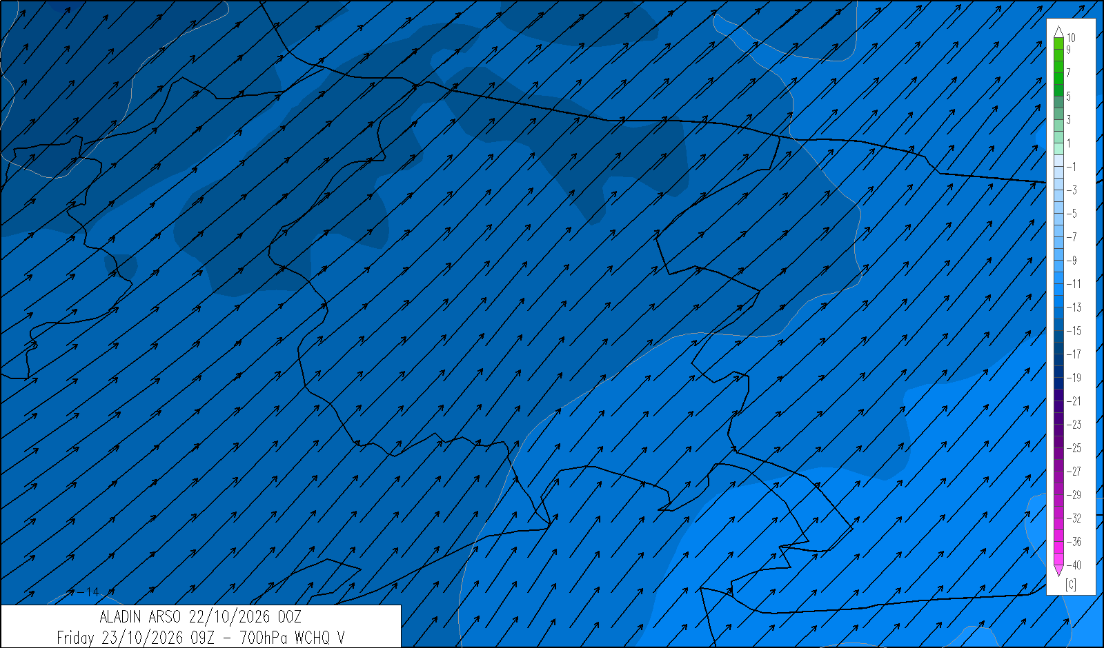
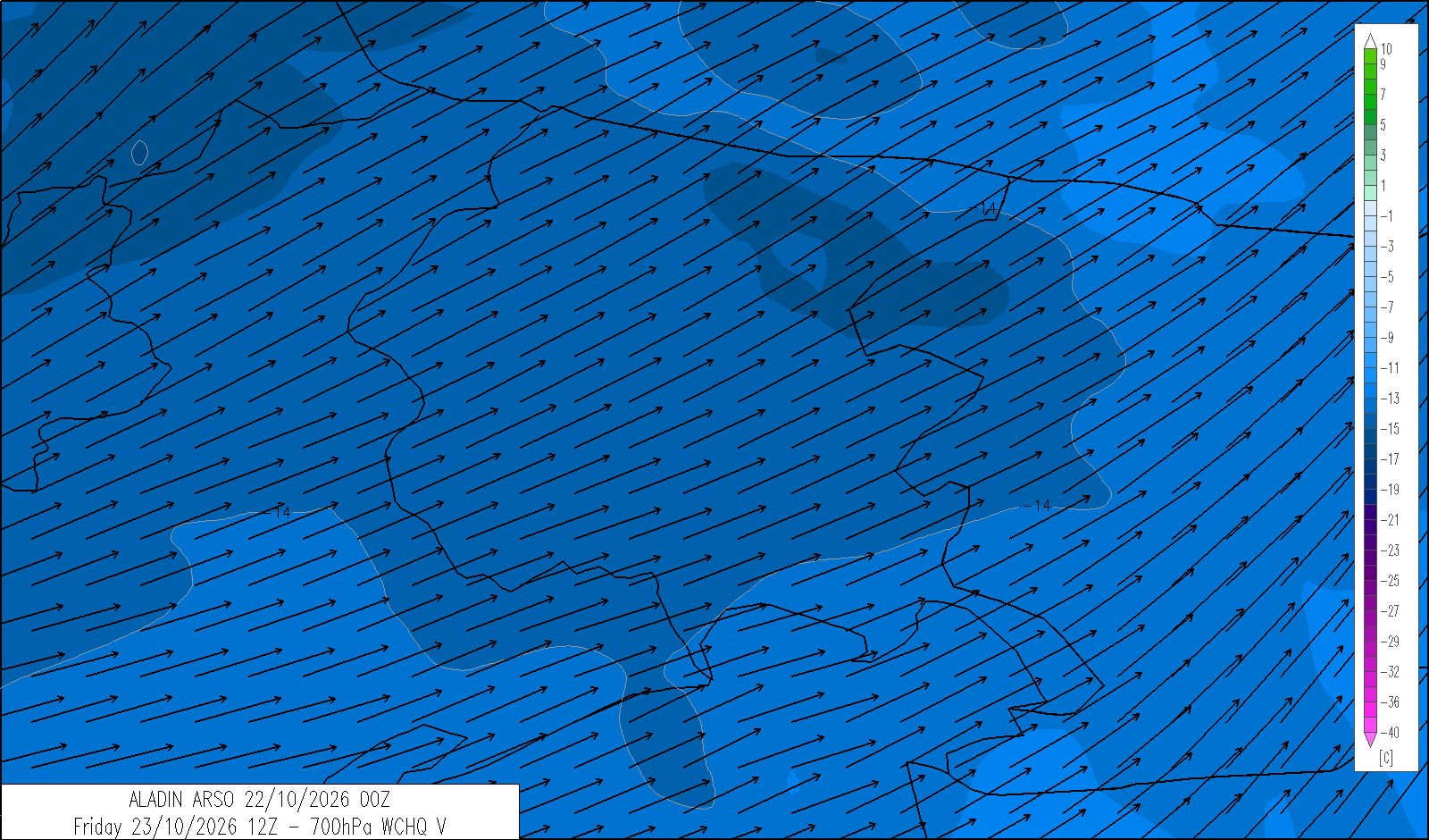
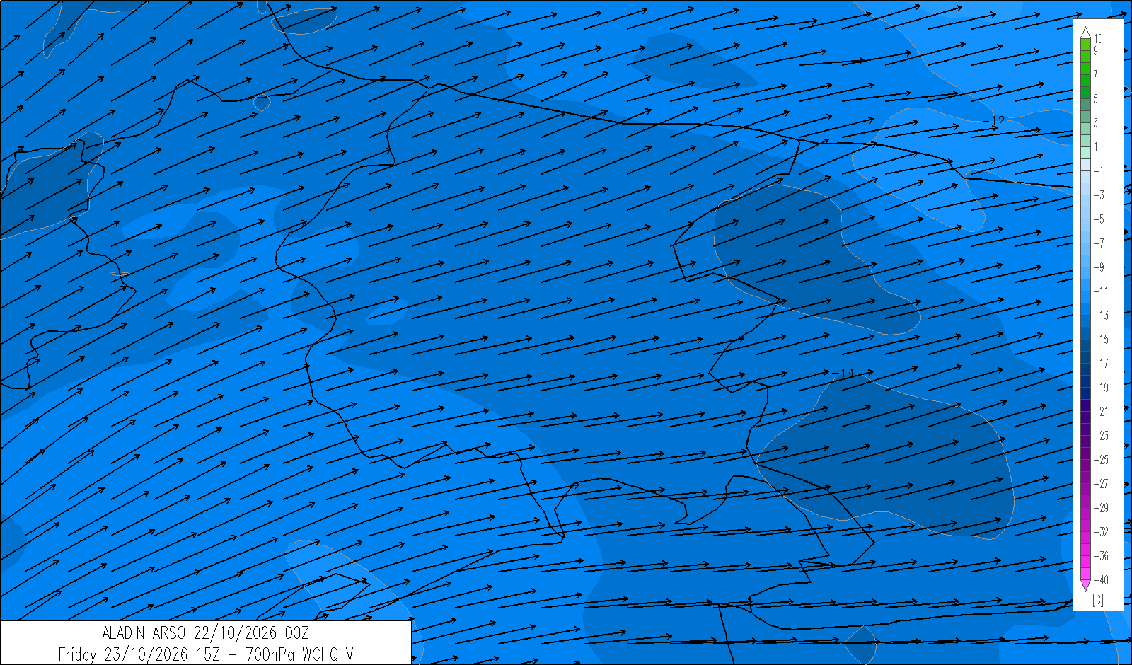
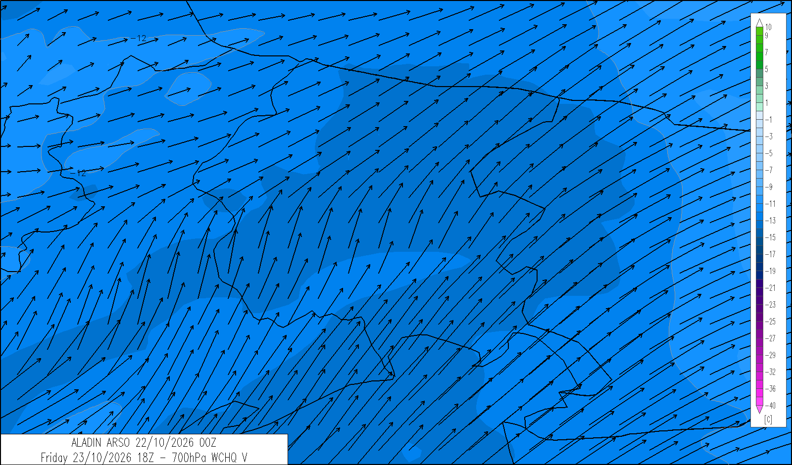
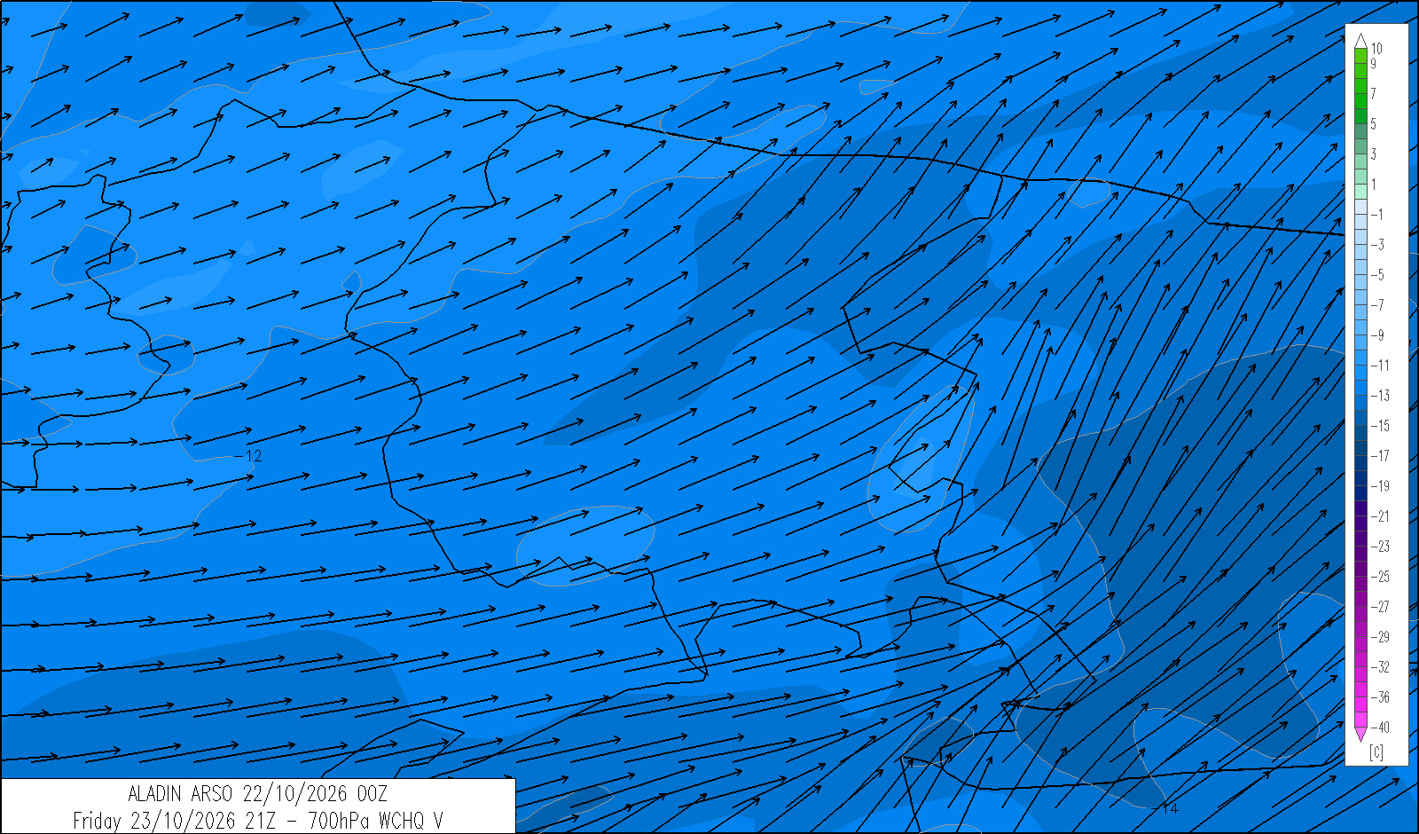
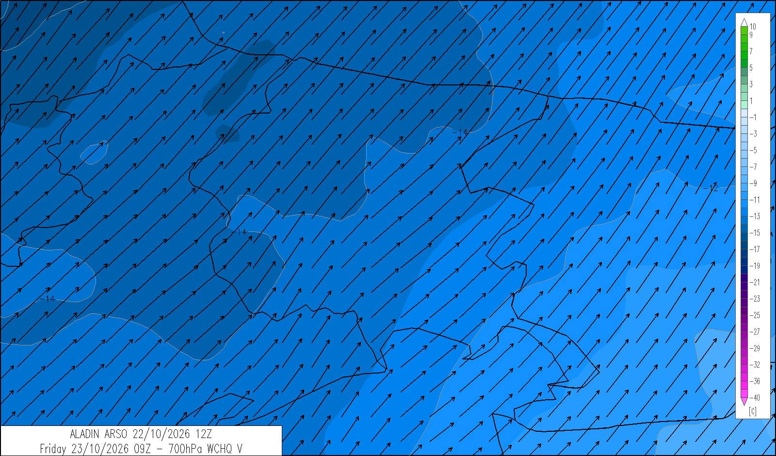
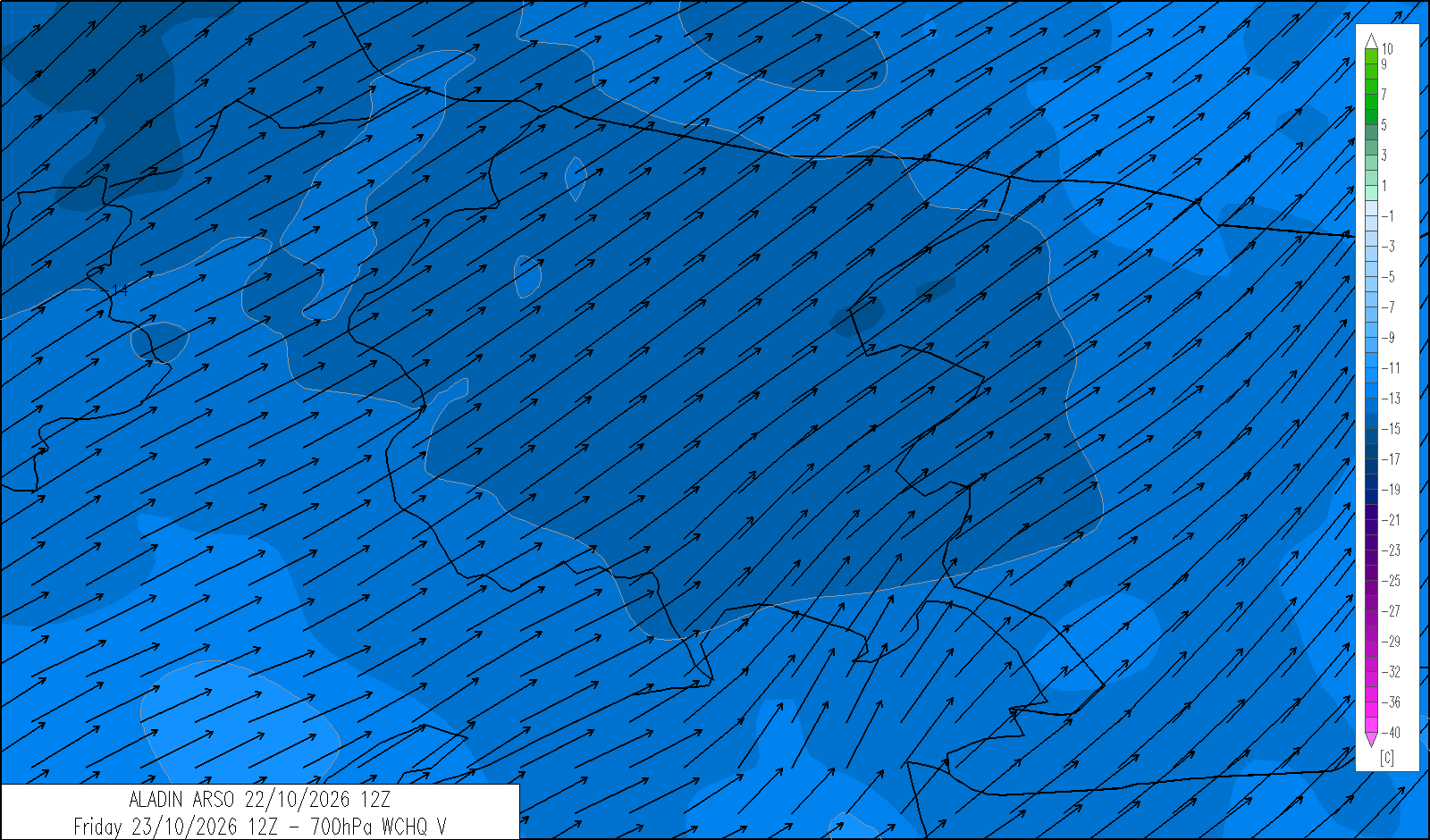
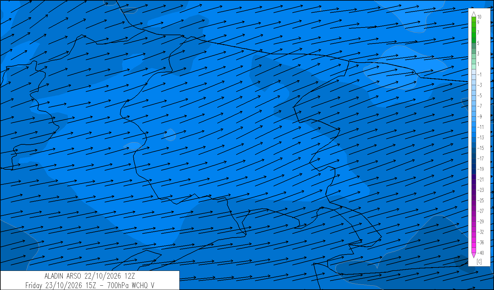
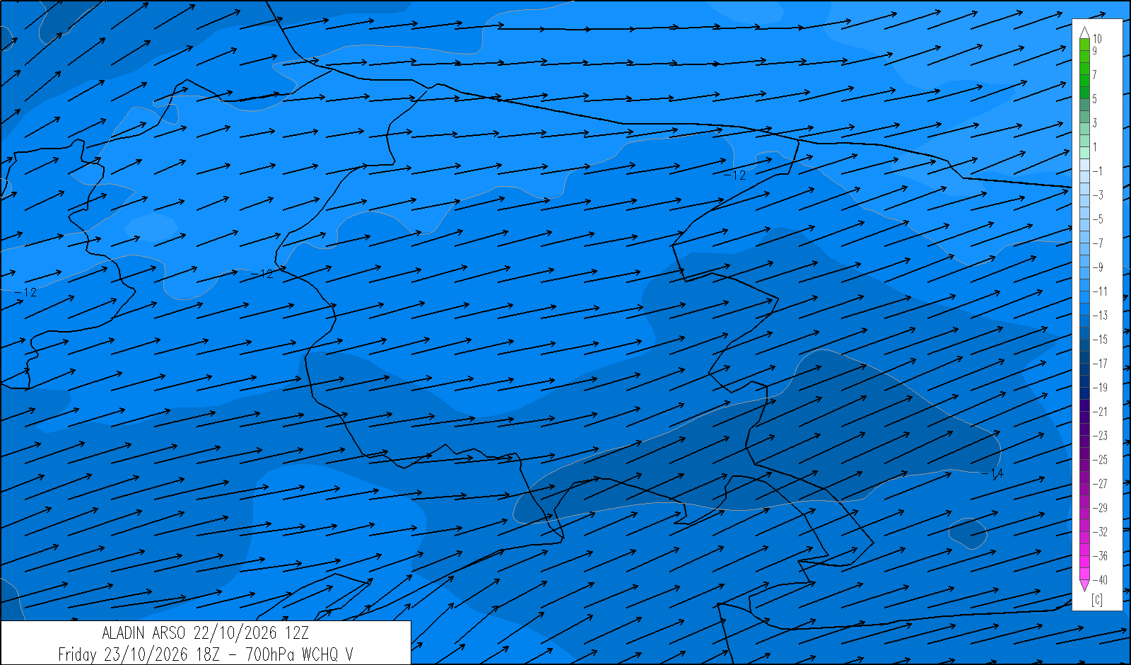
Largely clear skies early in the morning. Cloud will increase during the day, with moderate rain expected in the evening and the possibility of a few showers along the coast and in the eastern areas. The snow level will be around 1800-2000 metres. Moderate southerly winds will develop at higher elevations from the afternoon.
| average temp. at 1000 m (°C) | 8 |
| average temp. at 2000 m (°C) | 1 |
| prob. of widespread precipitations (%) | 80 |
| thunderstorms probability (%) | 10 |
| thermal zero height (m) | 2200 |
| snowfall level (m) | 1900 |
| mean wind speed & direction at 3000 m (m/s) | SW 10-15 |
| 4 | 12 | 20 | |
|---|---|---|---|
| diurnal evolution |
 |
|
|
Saturday 24 October
release: 22-10-2026 13:21 CEST
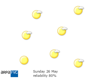
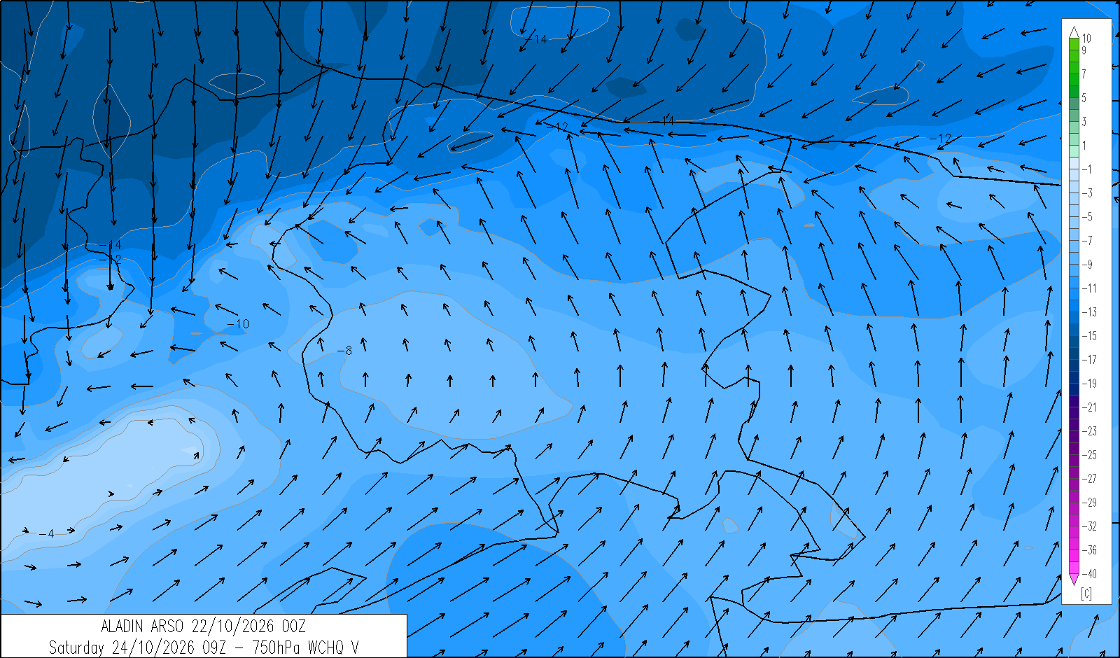
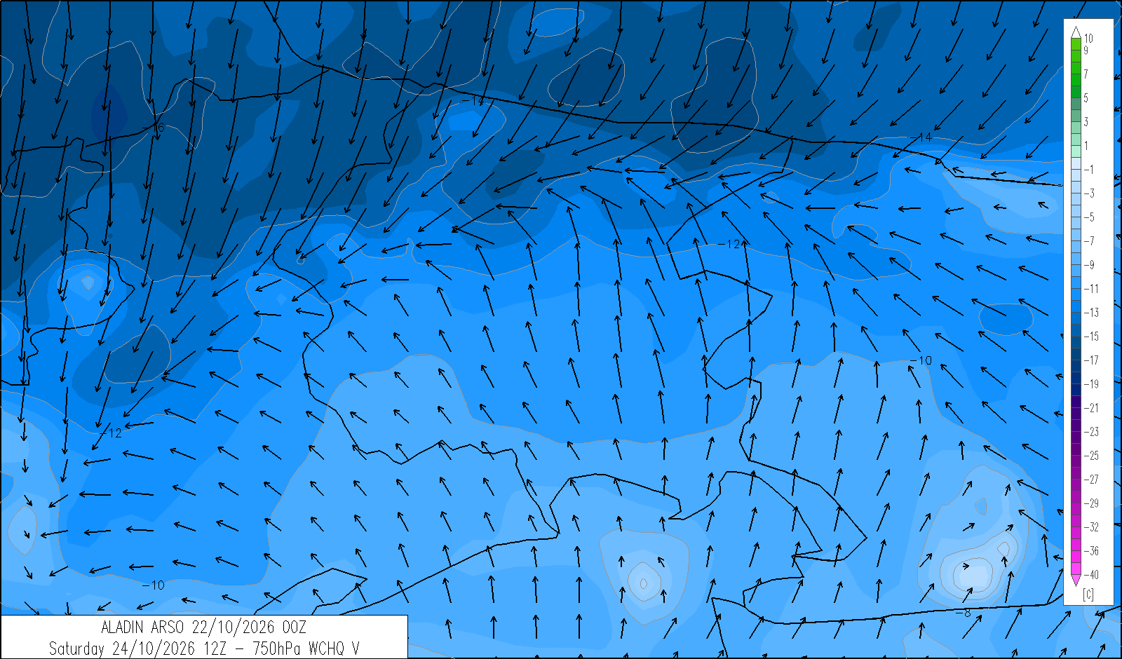
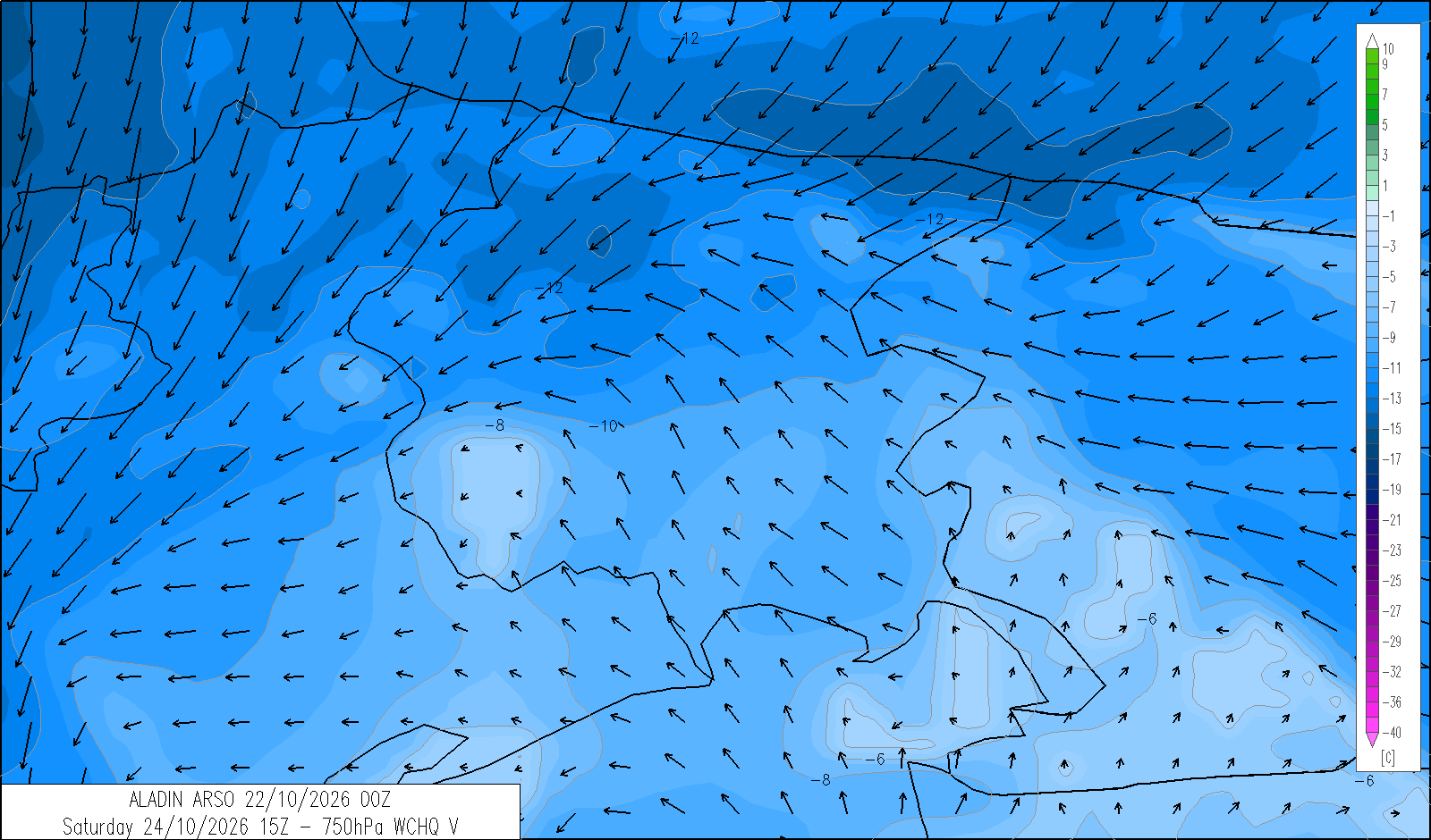
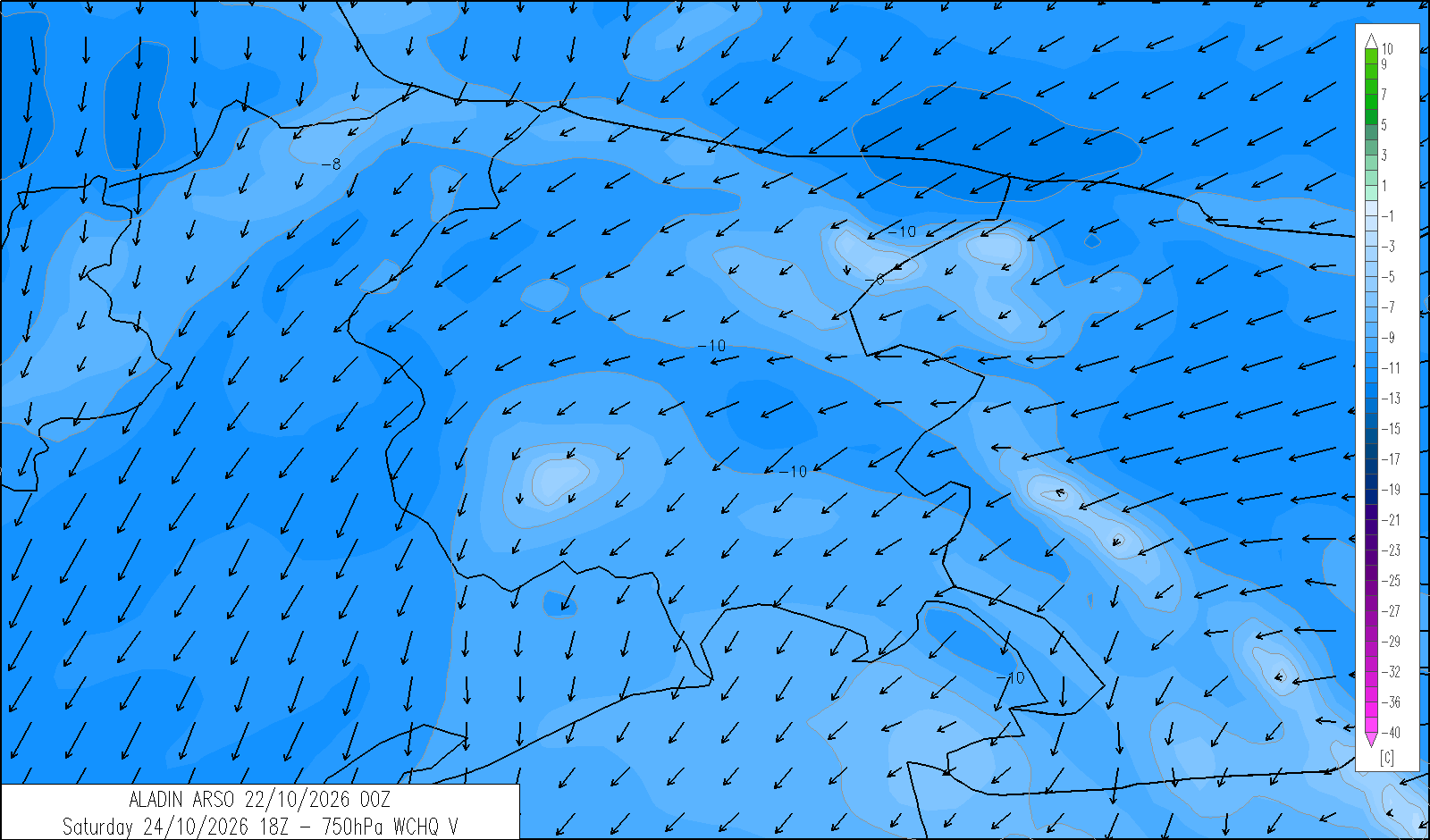
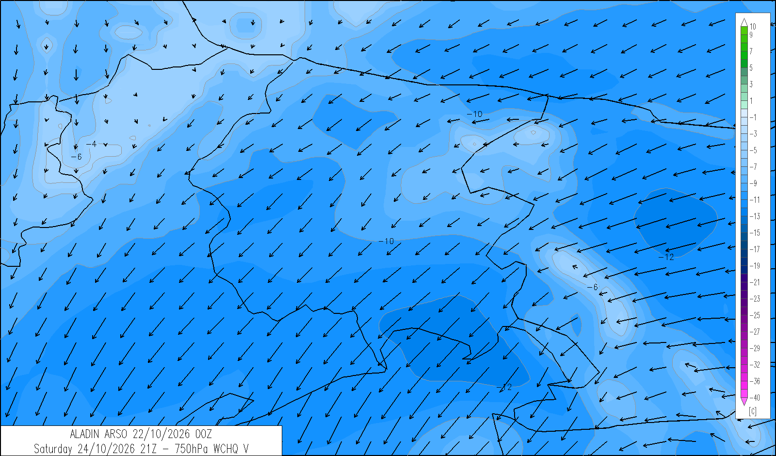
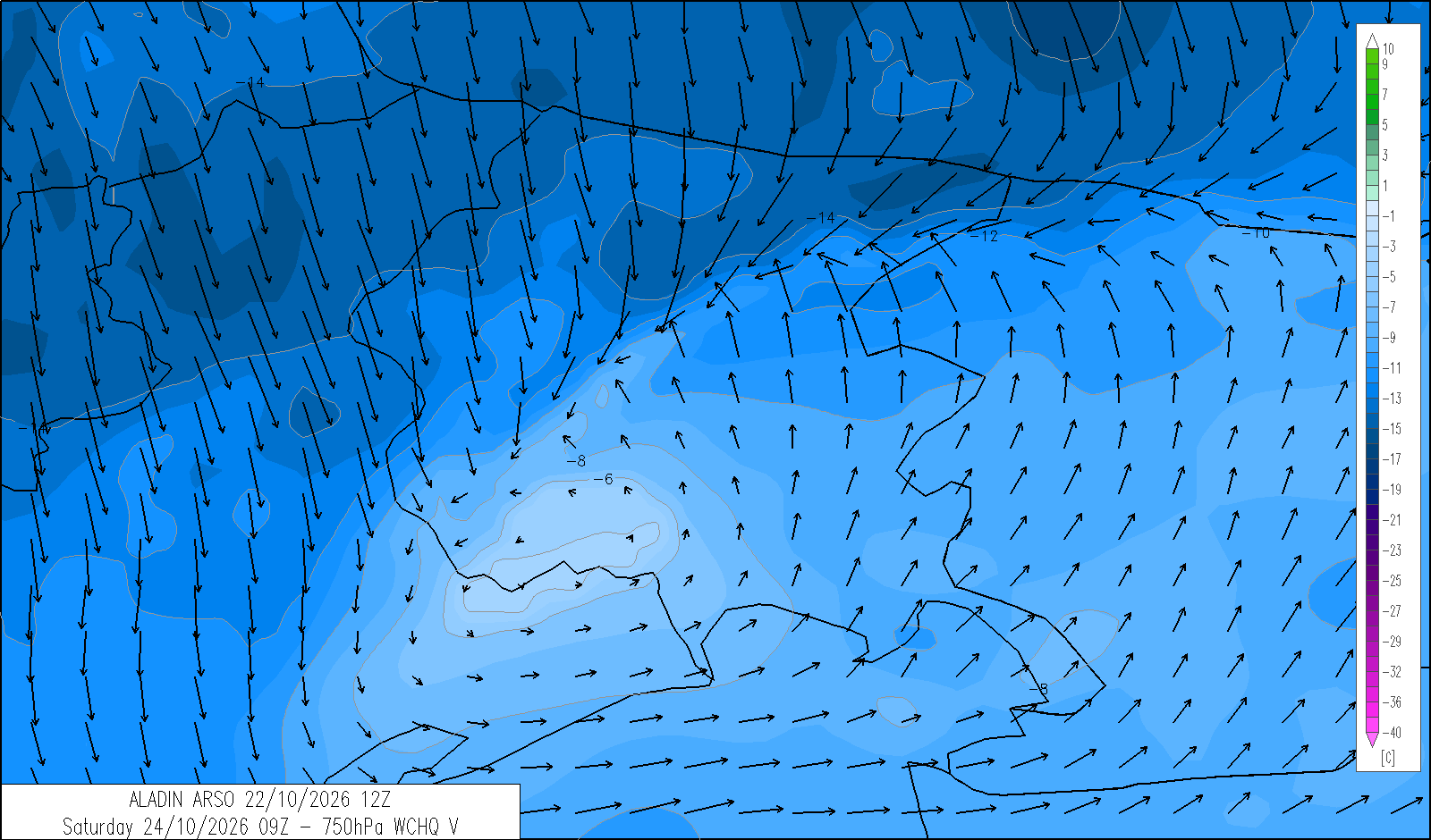
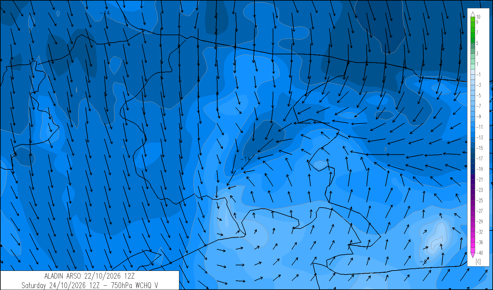
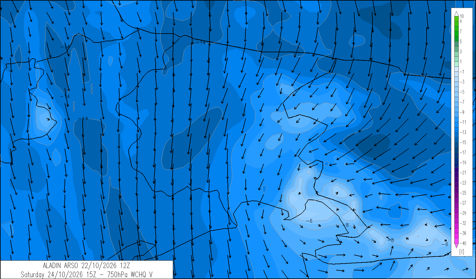
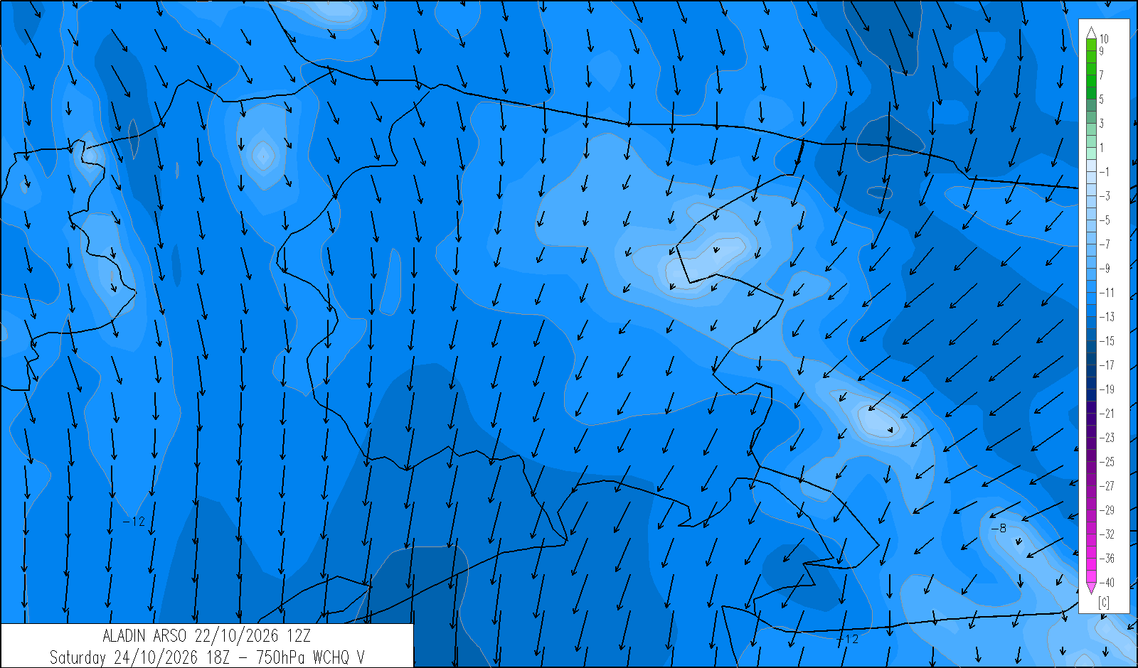
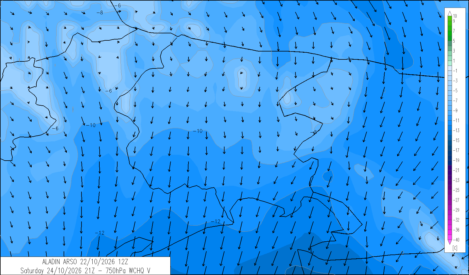
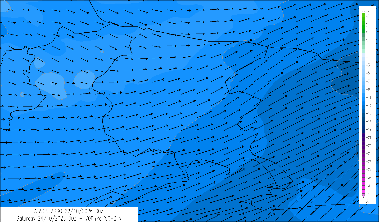
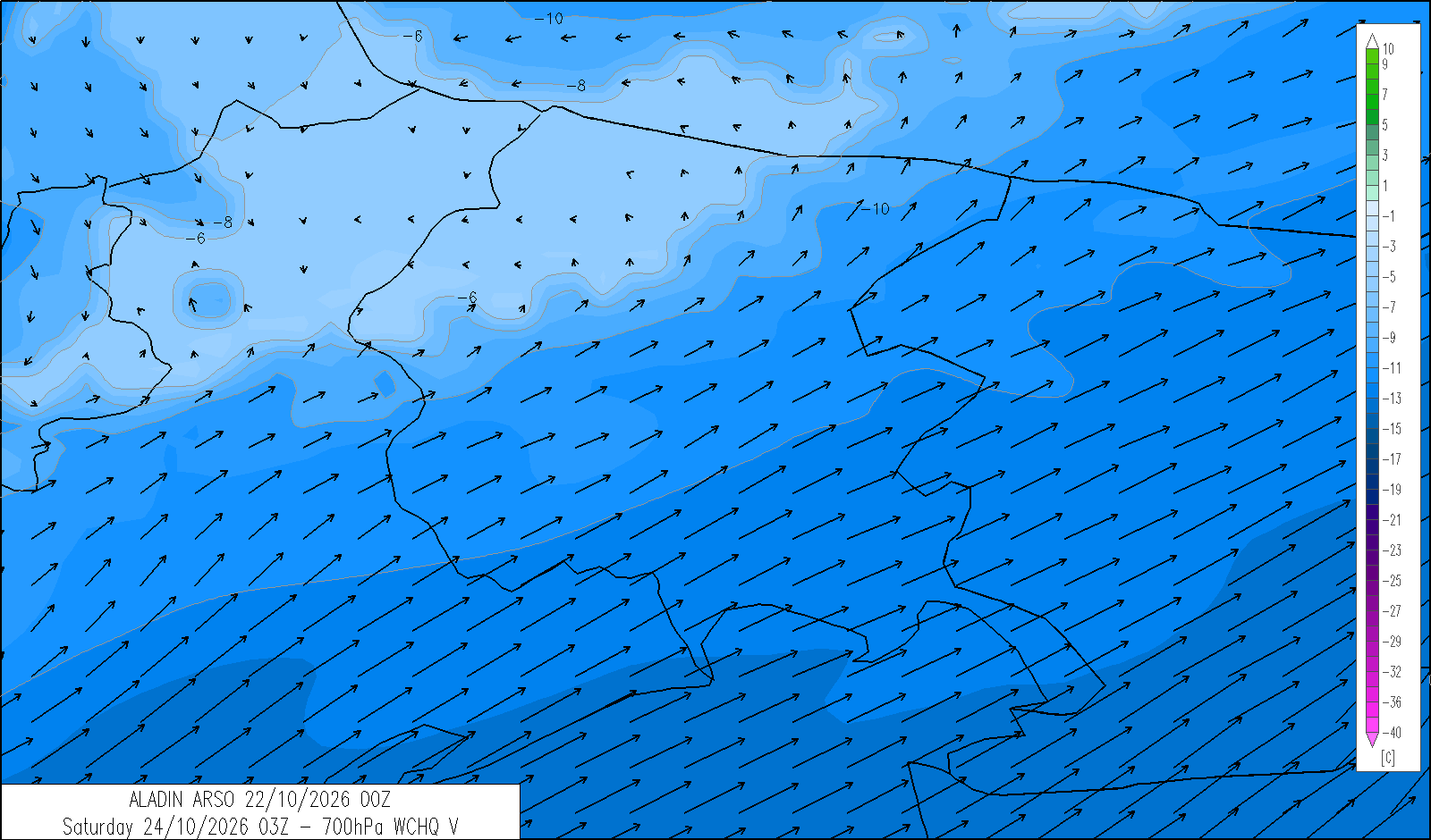
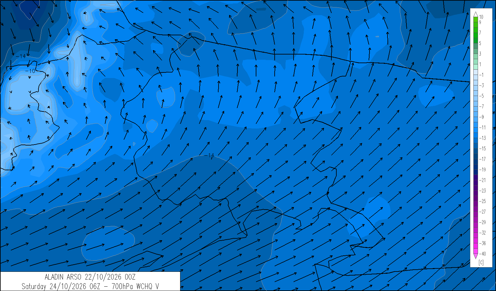
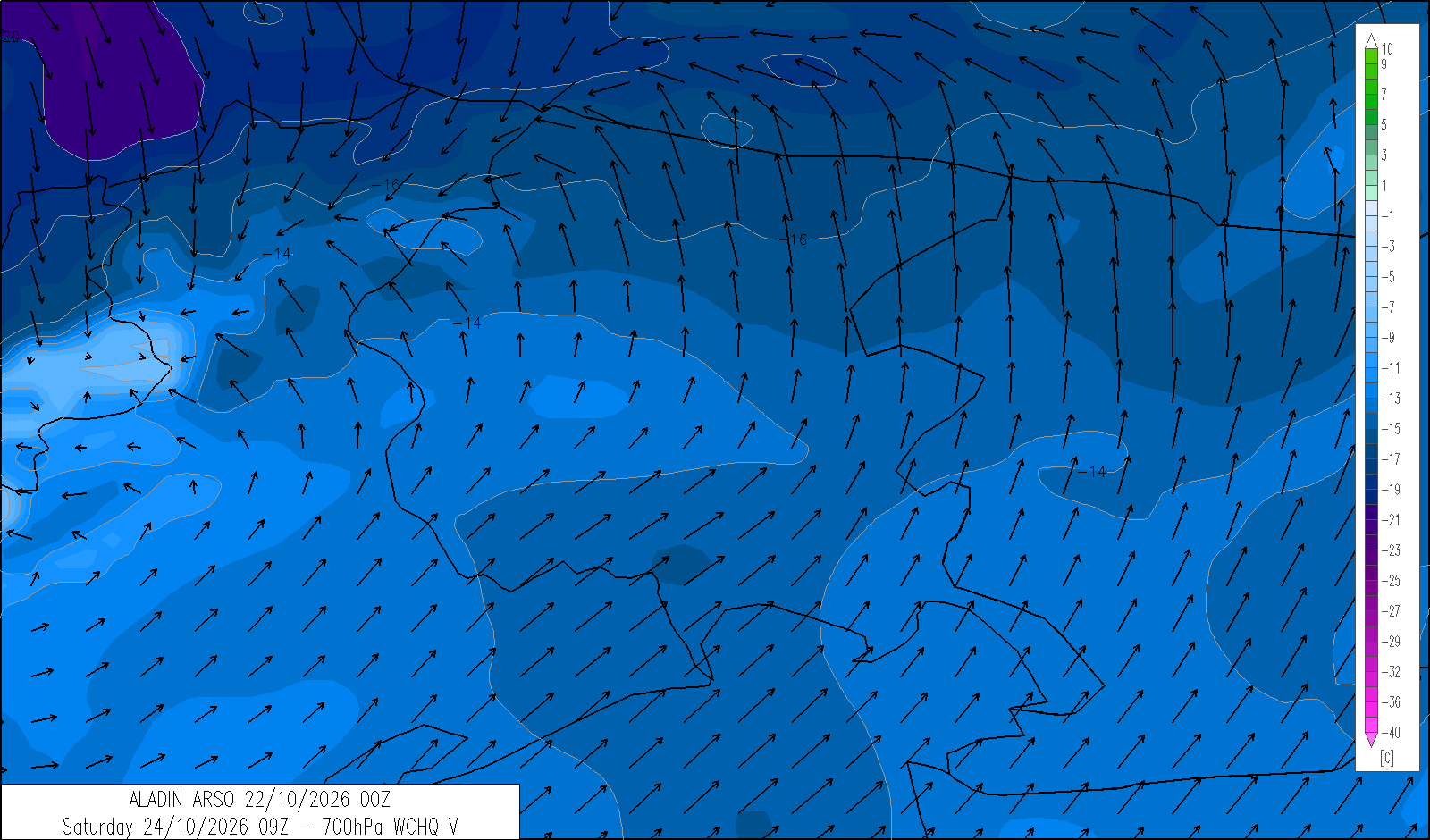
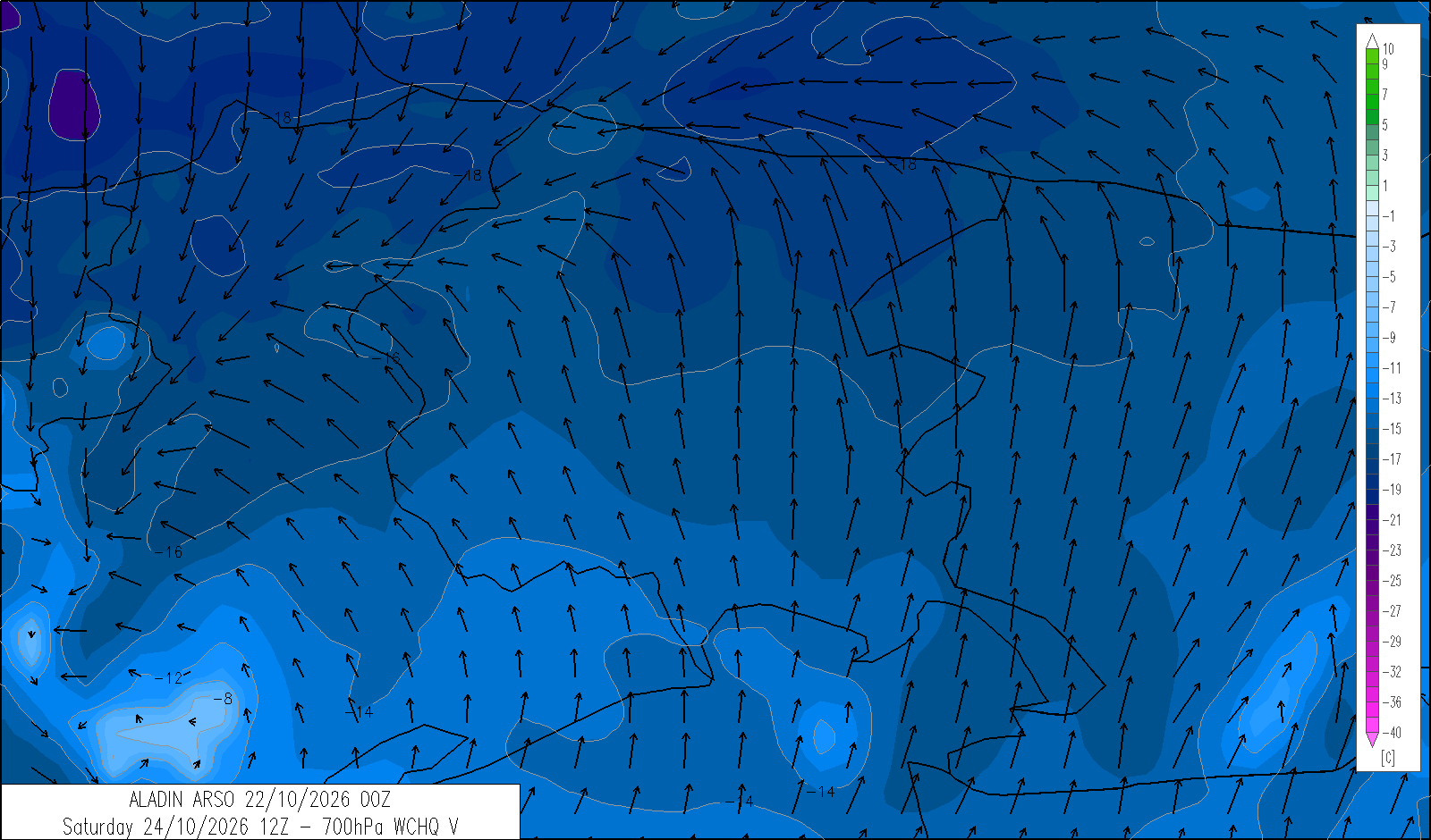
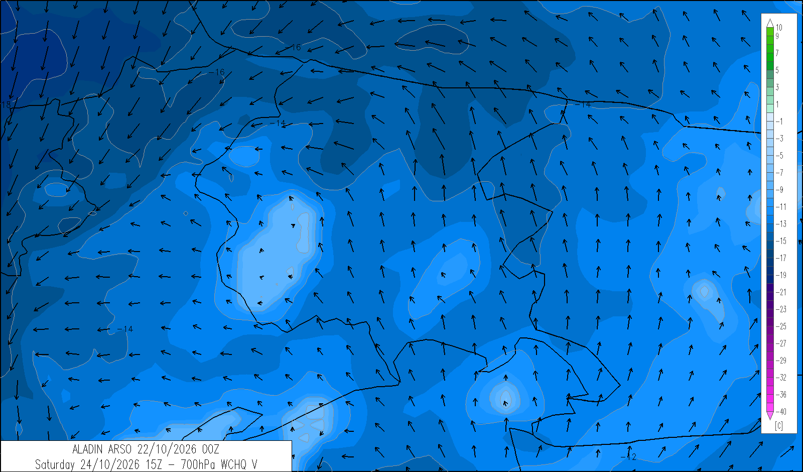
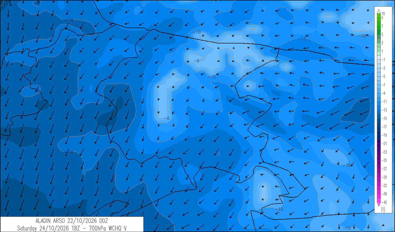
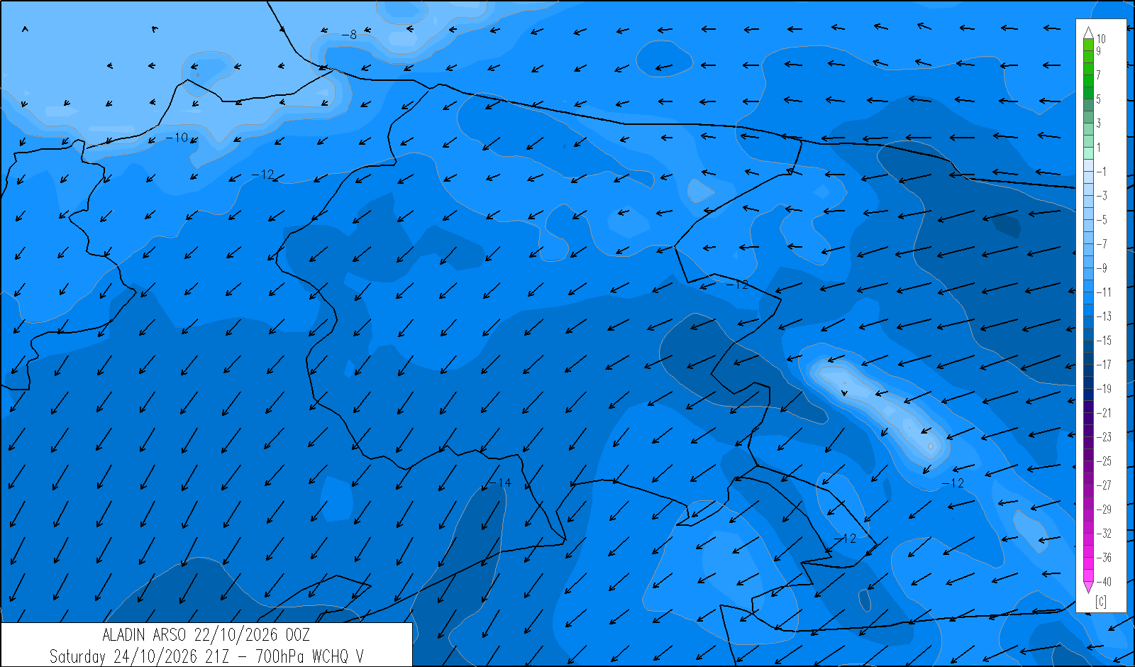
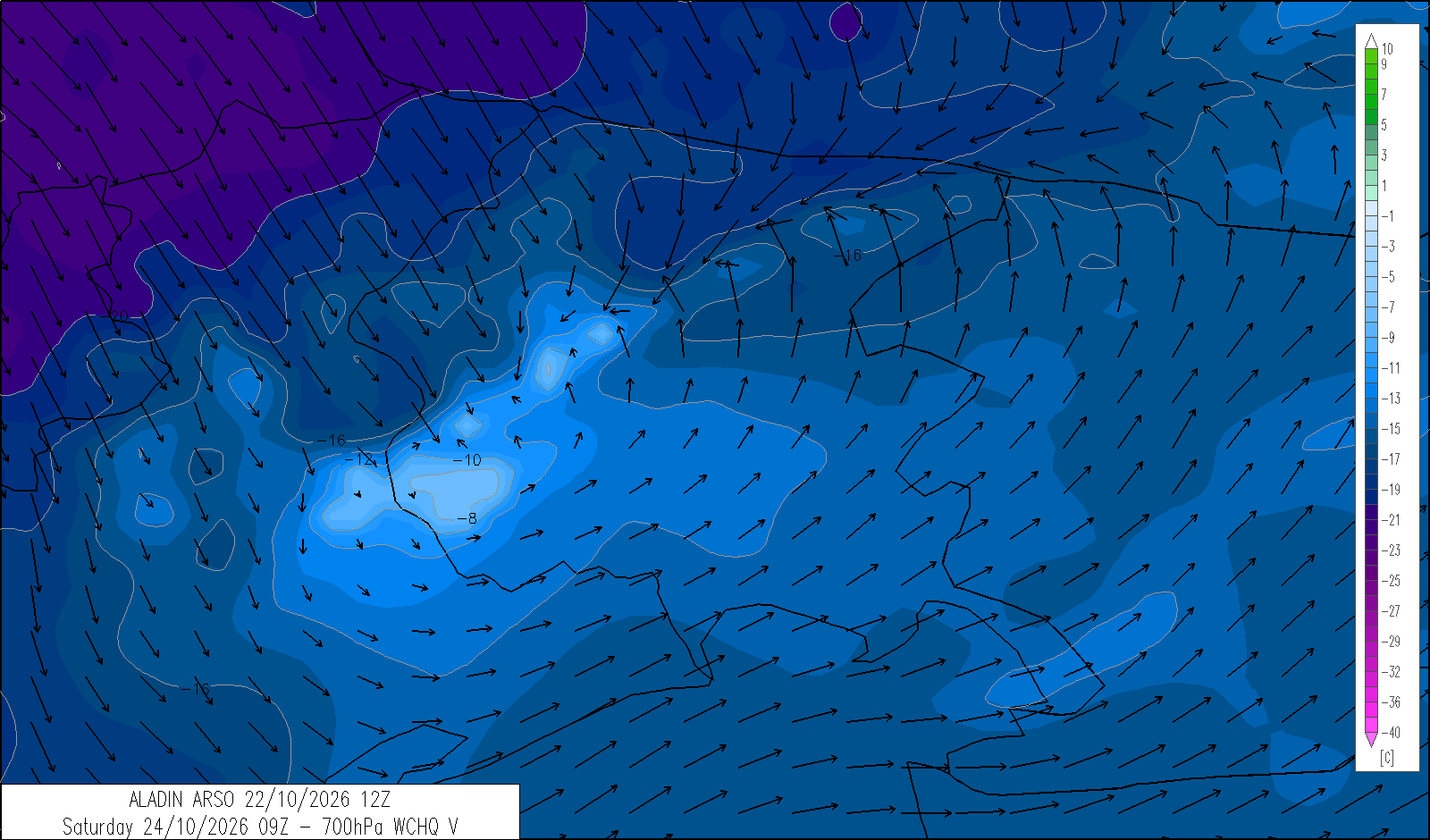
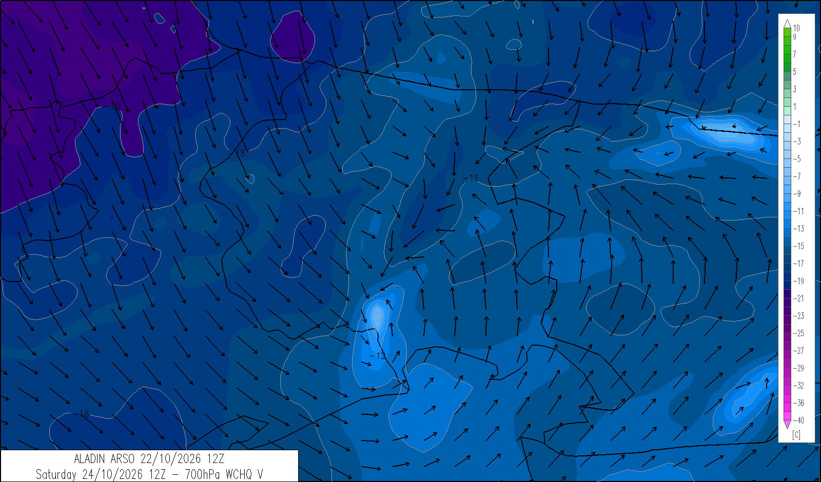
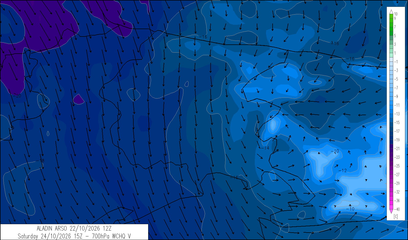
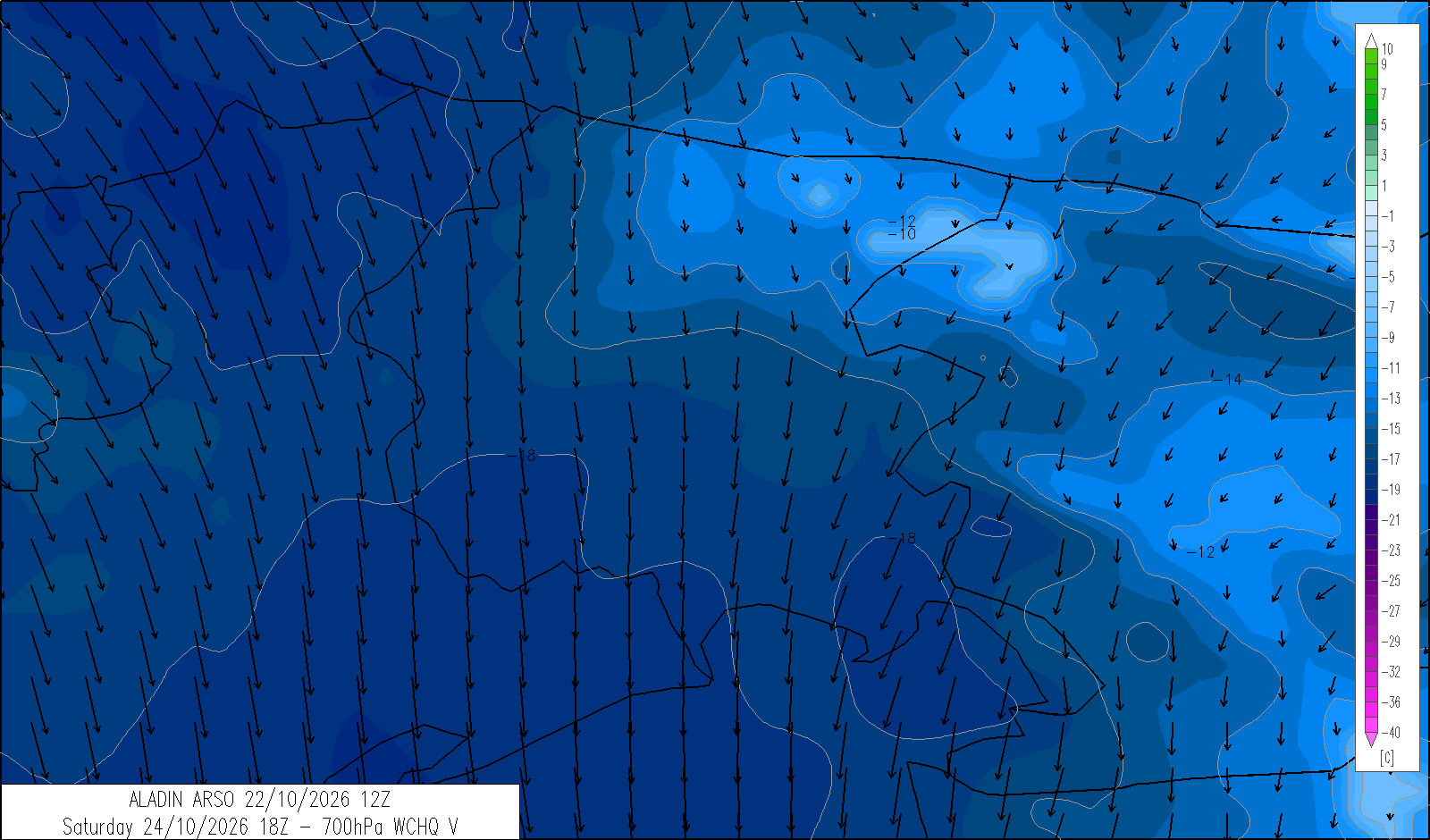
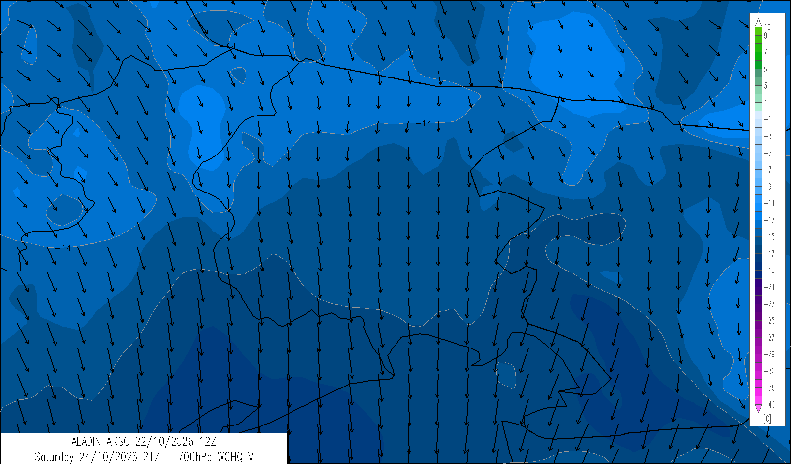
Overcast with intermittent moderate rain and the possibility of a few scattered showers. Maximum temperatures will fall significantly. In the afternoon, the snow level may drop to 1000 metres in the Alps and 1200 metres in the Pre-Alps. Moderate northerly winds will develop at higher elevations from the afternoon.
| average temp. at 1000 m (°C) | 6 |
| average temp. at 2000 m (°C) | -1 |
| prob. of widespread precipitations (%) | >90 |
| thunderstorms probability (%) | 30 |
| thermal zero height (m) | 2200 → 1700 |
| snowfall level (m) | 1900 → 1100 |
| mean wind speed & direction at 3000 m (m/s) | Var. 4-8 |
| 4 | 12 | 20 | |
|---|---|---|---|
| diurnal evolution |
|
|
|
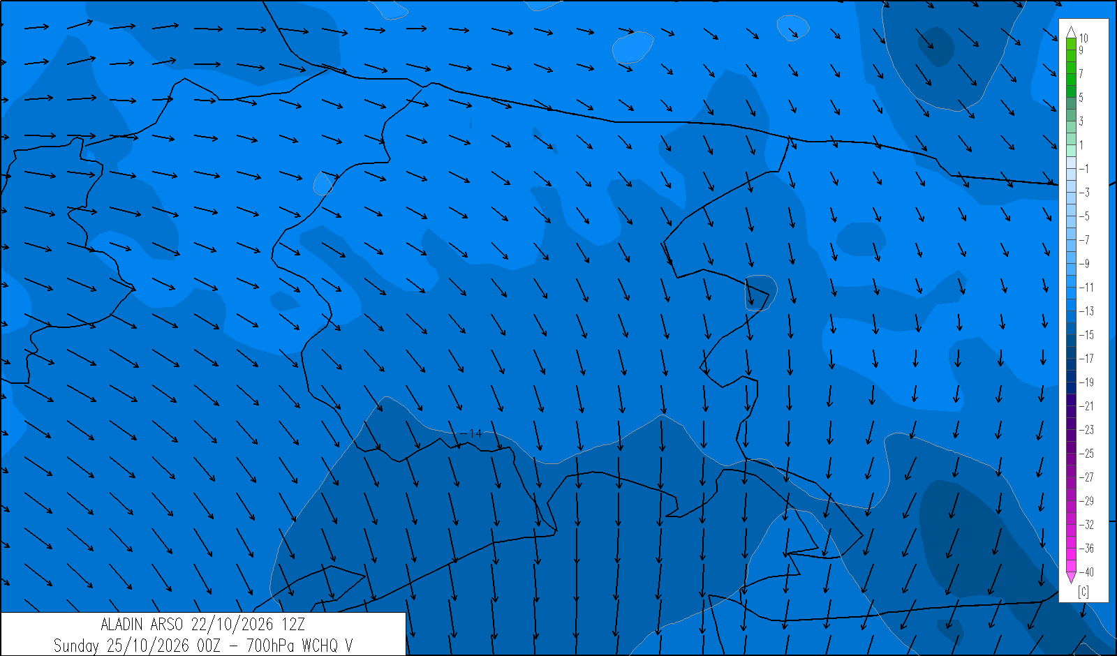
trend for Sunday 25 October
release: 22-10-2026 13:22 CEST
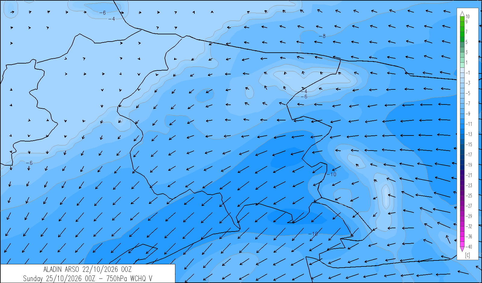
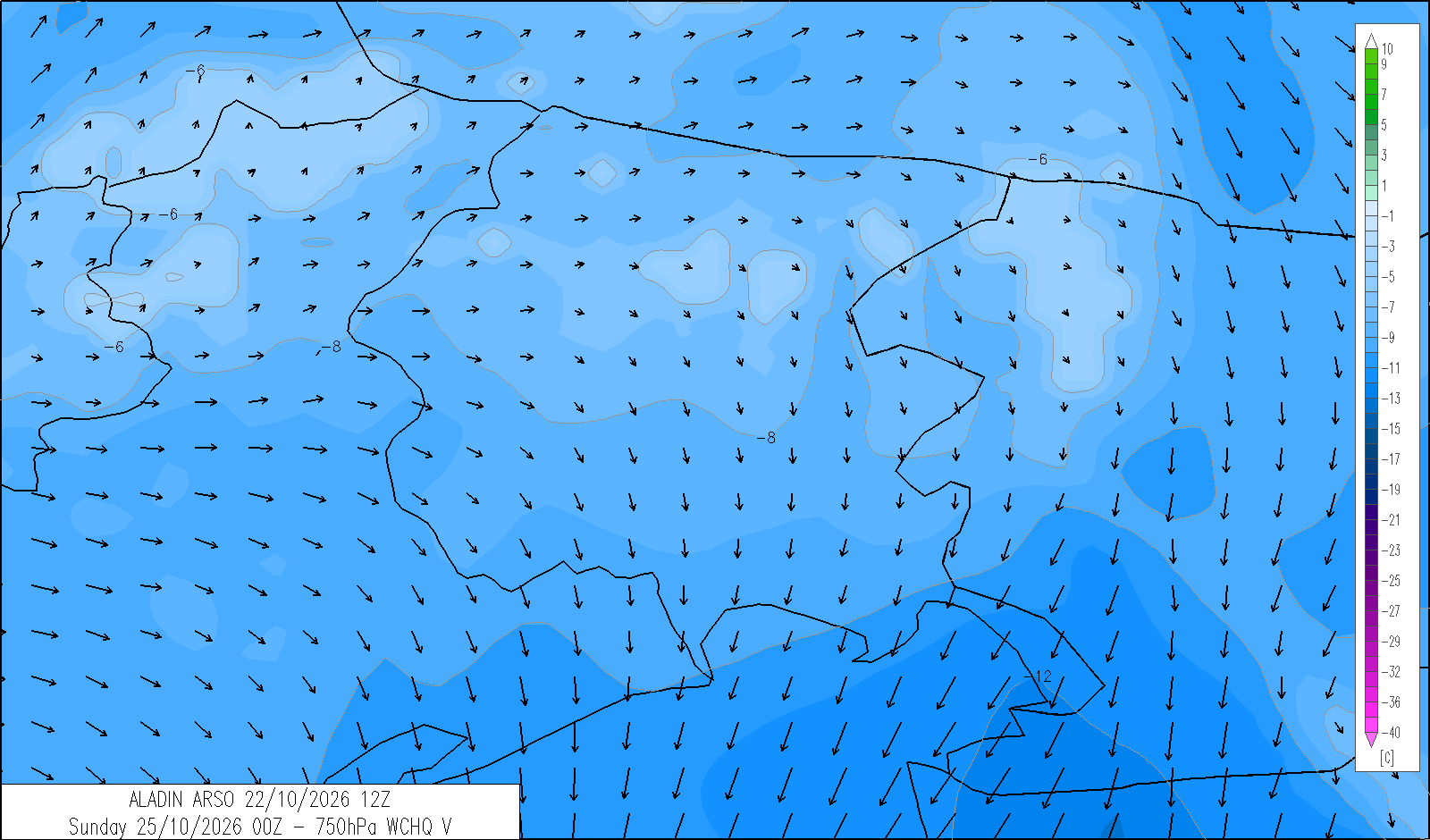
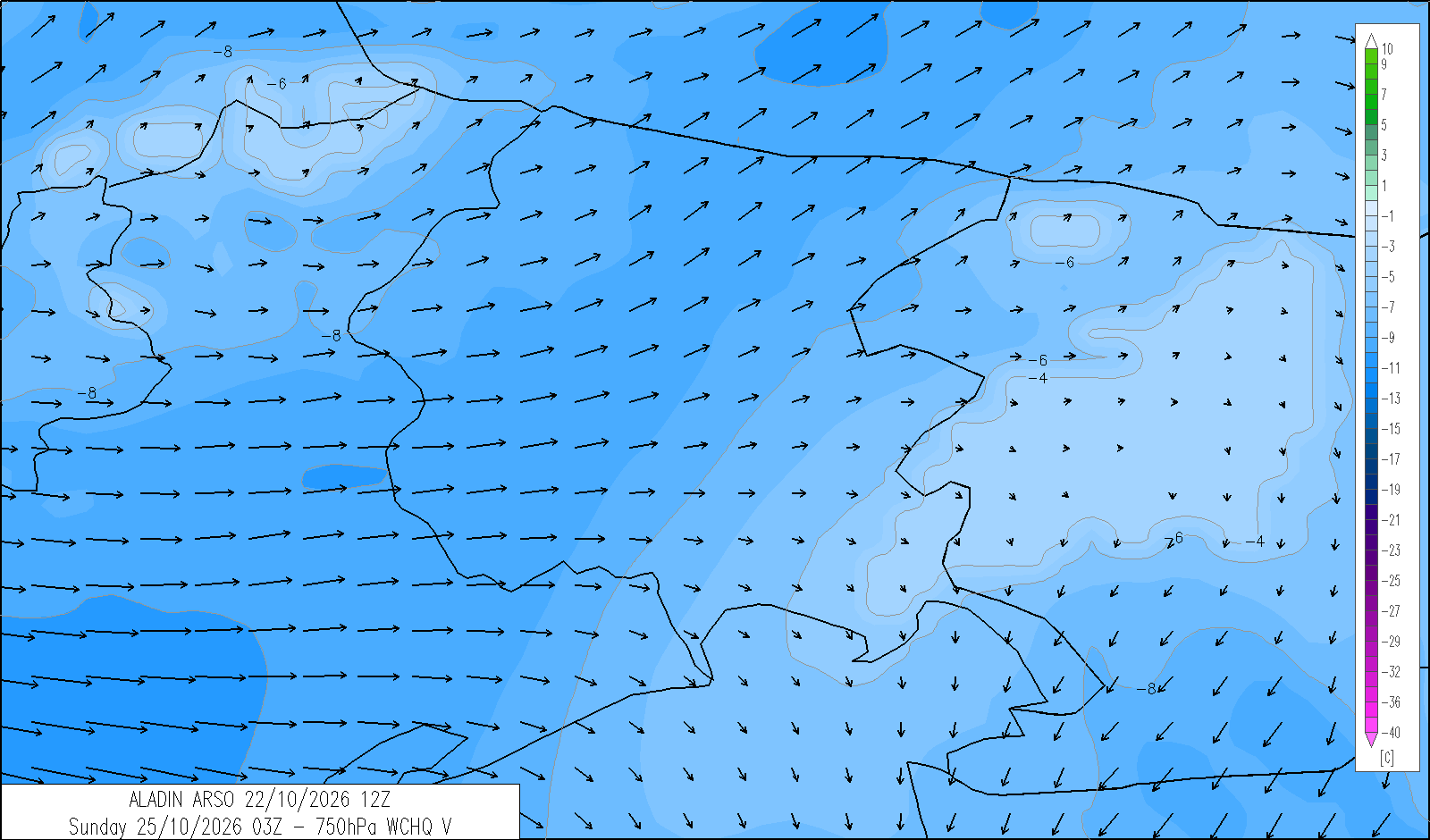
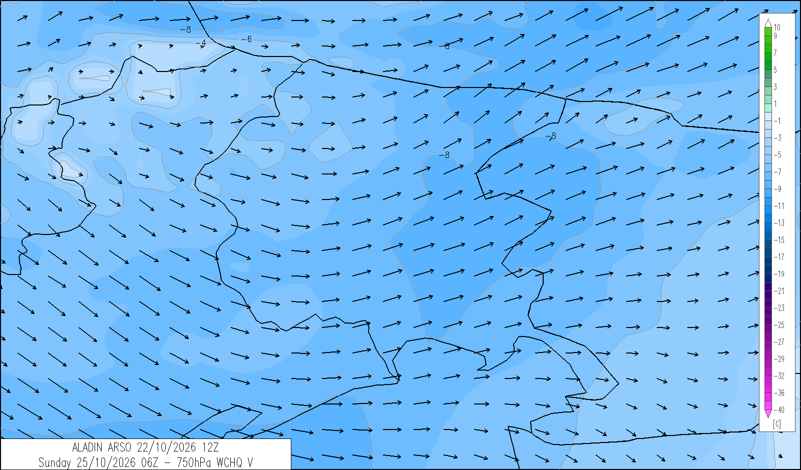
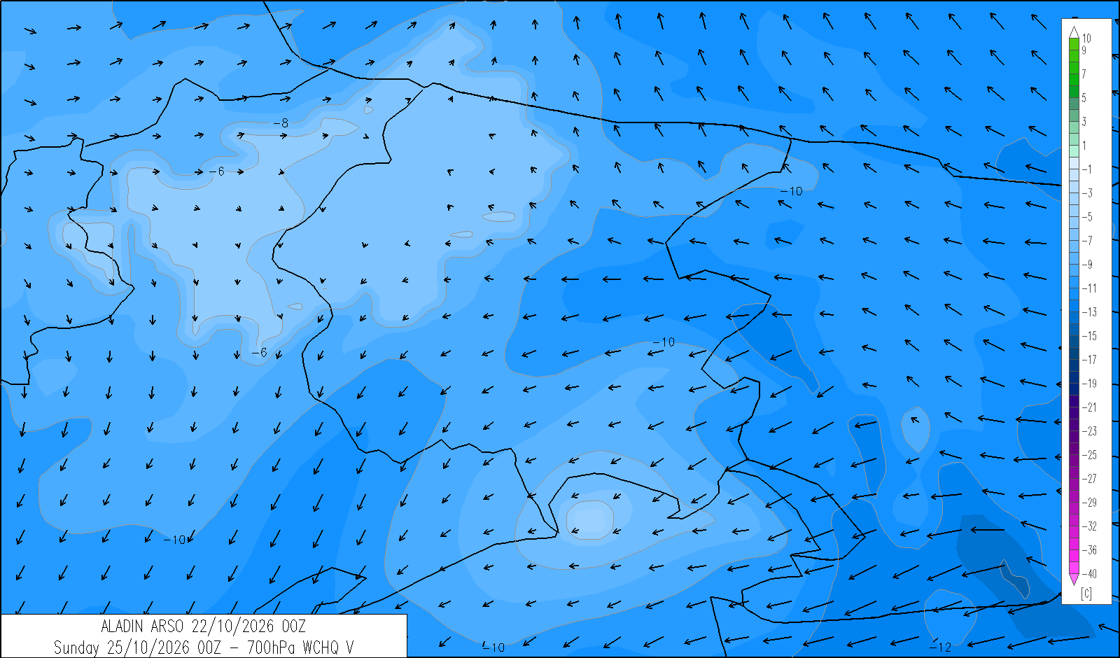
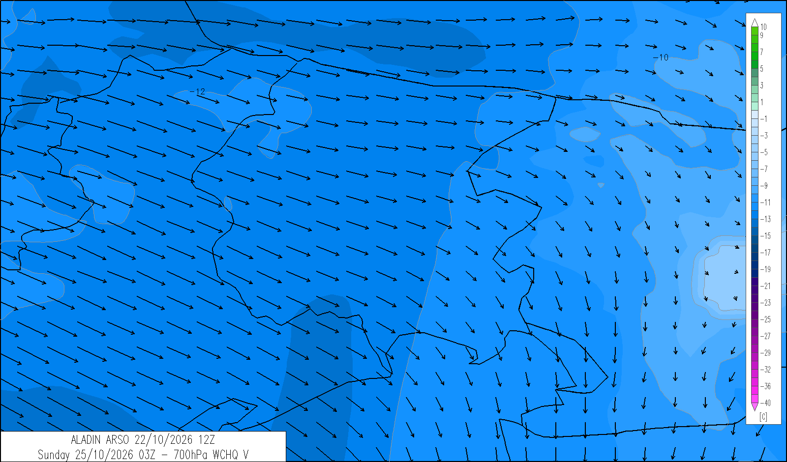
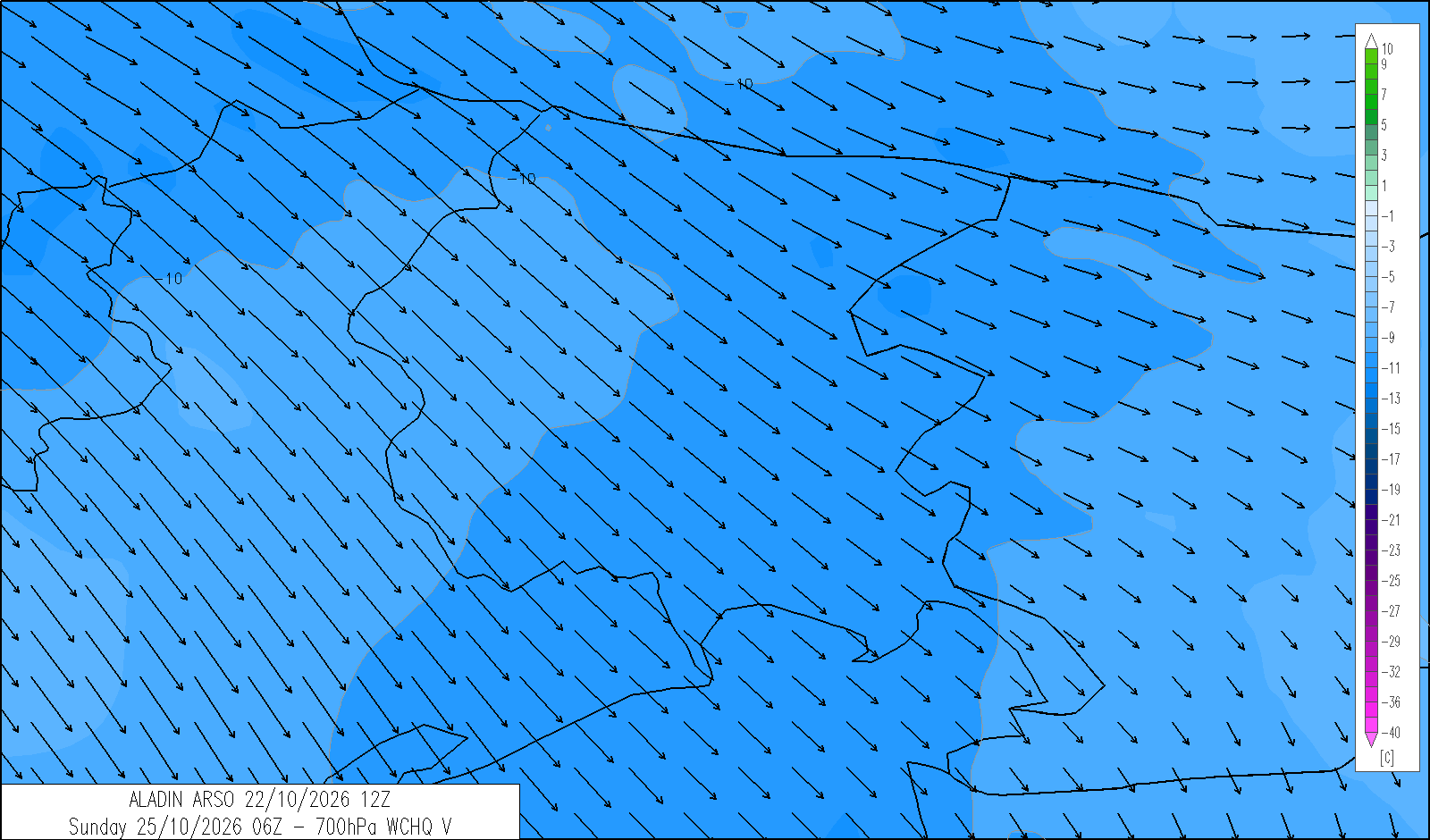
Mostly cloudy with possible sunny spells developing from the afternoon. Moderate Bora winds will blow along the coast overnight, easing during the morning.
| temp. (°C) | min | max | med | |
|---|---|---|---|---|
| plain | 3/7 | 13/16 | 2000 m | 0 |
| coast | 8/10 | 15/17 | 1000 m | 6 |
| 4 | 12 | 20 | |
|---|---|---|---|
| diurnal evolution |
|
|
|
trend for Monday 26 October
release: 22-10-2026 13:22 CEST
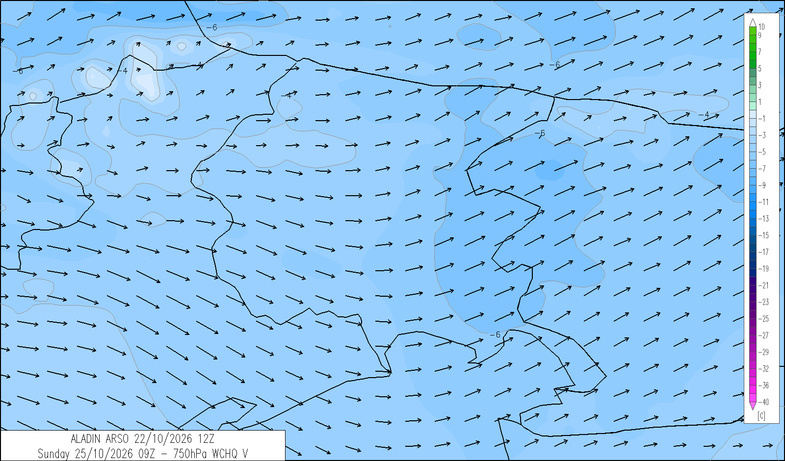
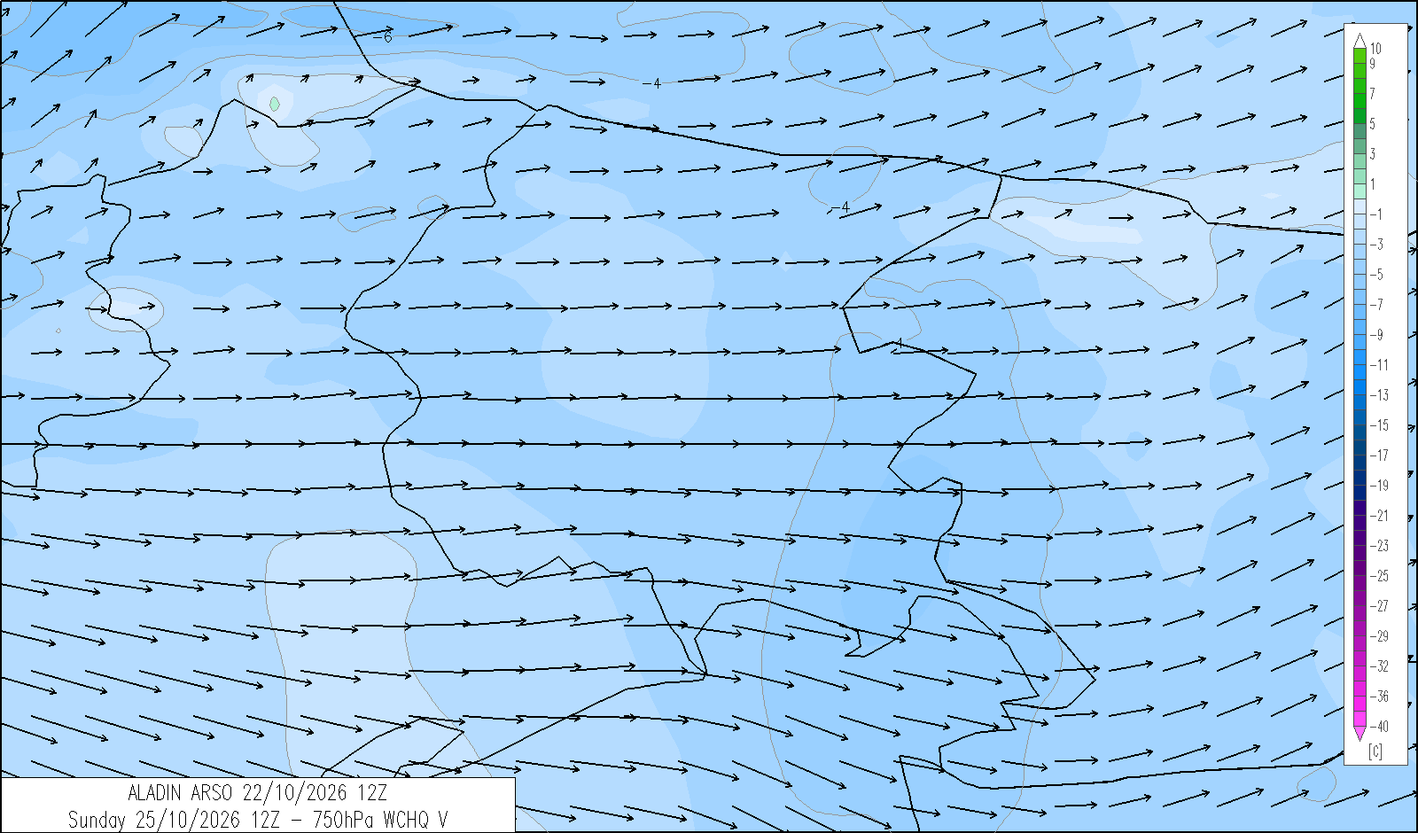
Generally variable cloud, at times temporarily cloudy as bands of medium- and high-level cloud pass through. Temperatures will rise, with the freezing level above 3000 metres.
| temp. (°C) | min | max | med | |
|---|---|---|---|---|
| plain | 4/7 | 17/19 | 2000 m | 6 |
| coast | 9/11 | 17/19 | 1000 m | 10 |
webcam - panomax.com


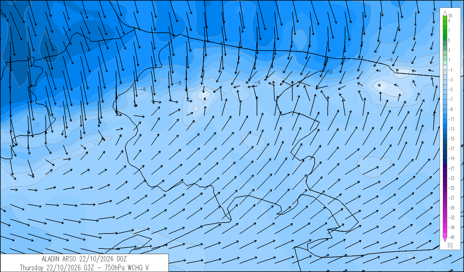
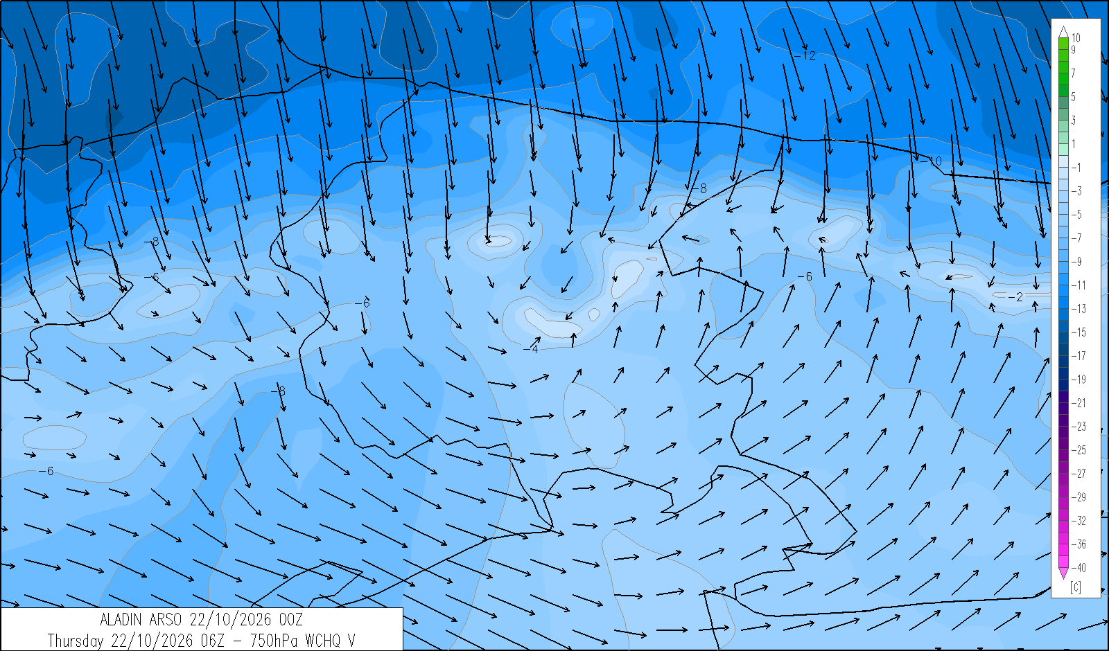
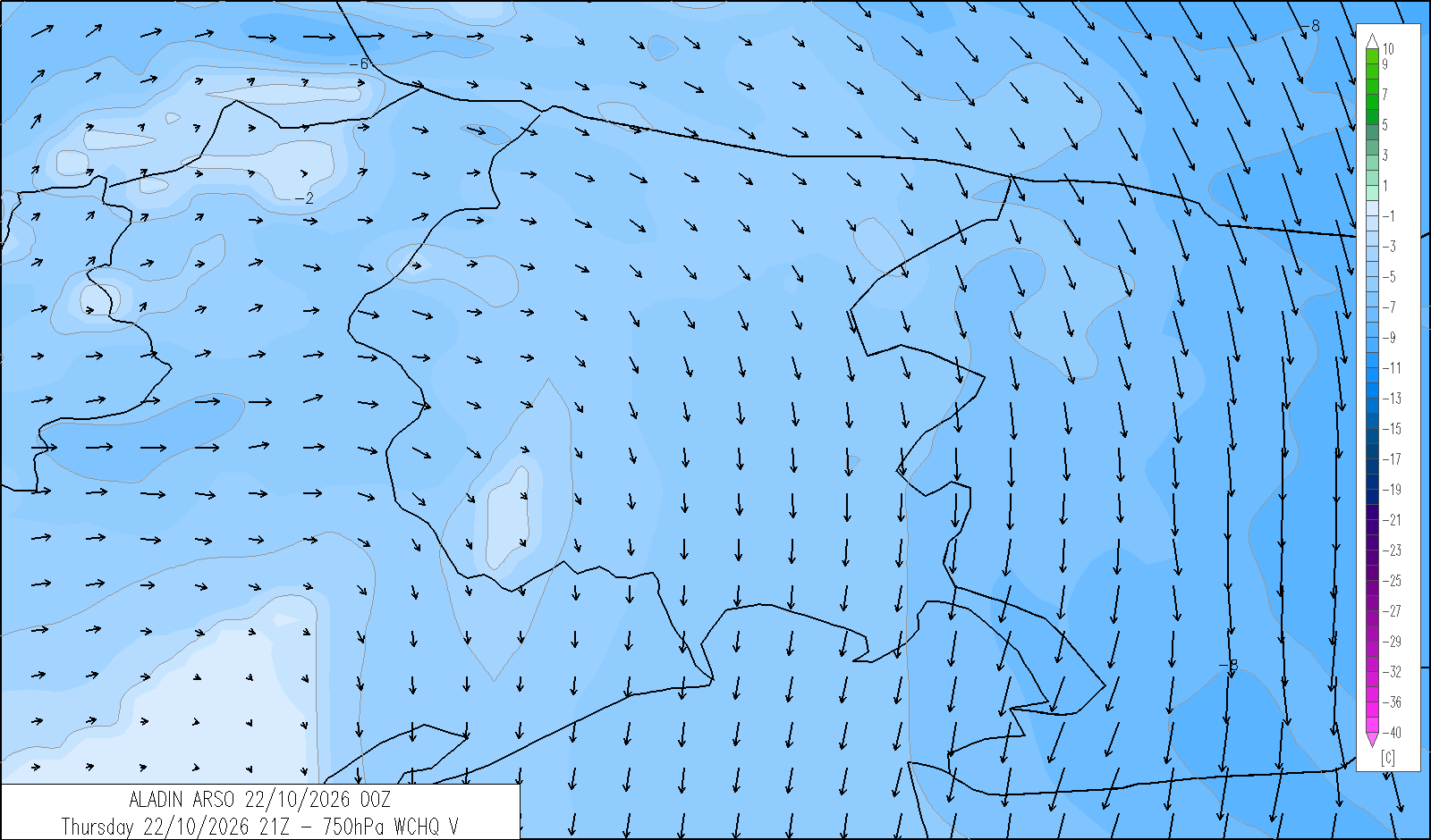
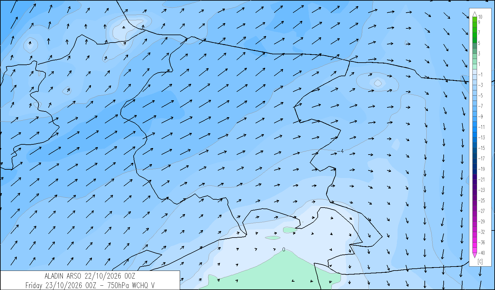
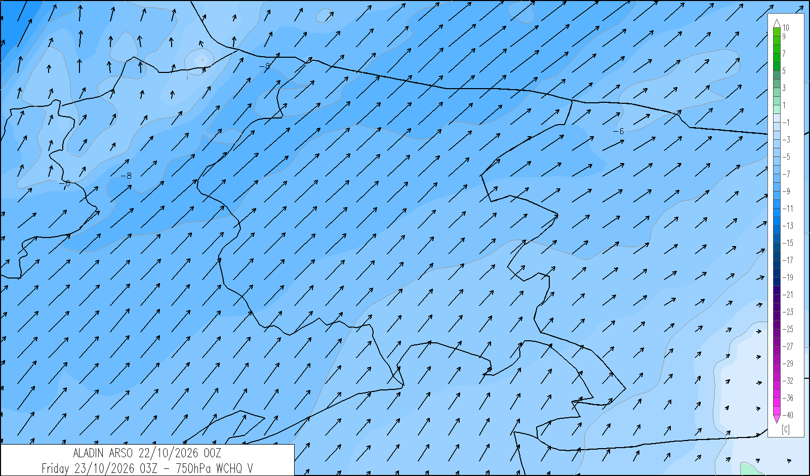
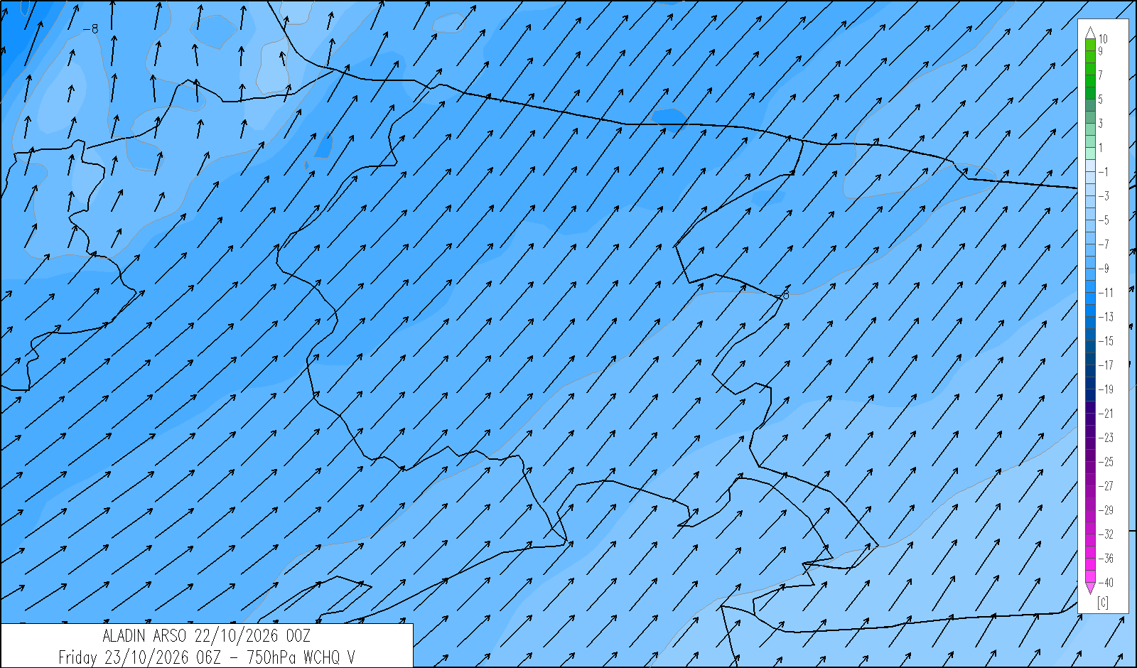
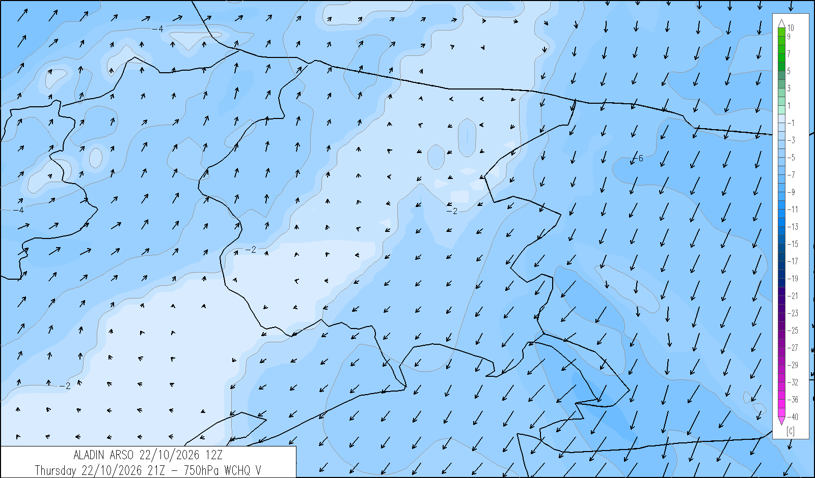
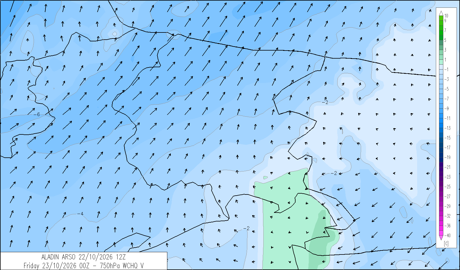
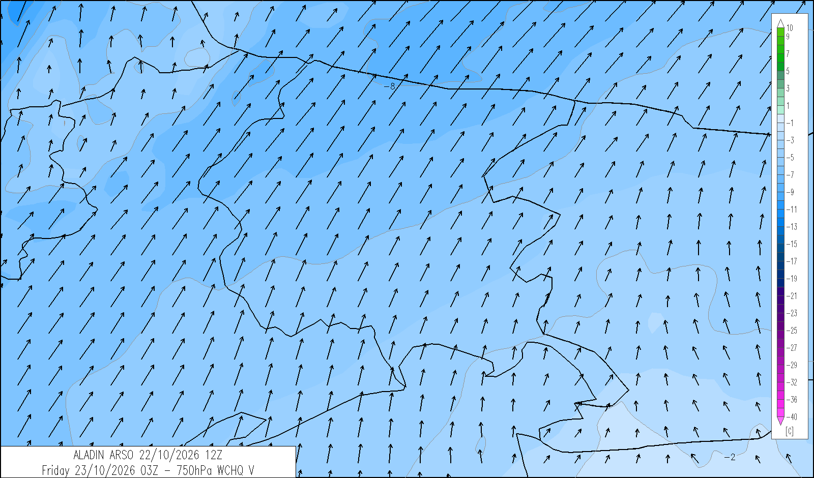
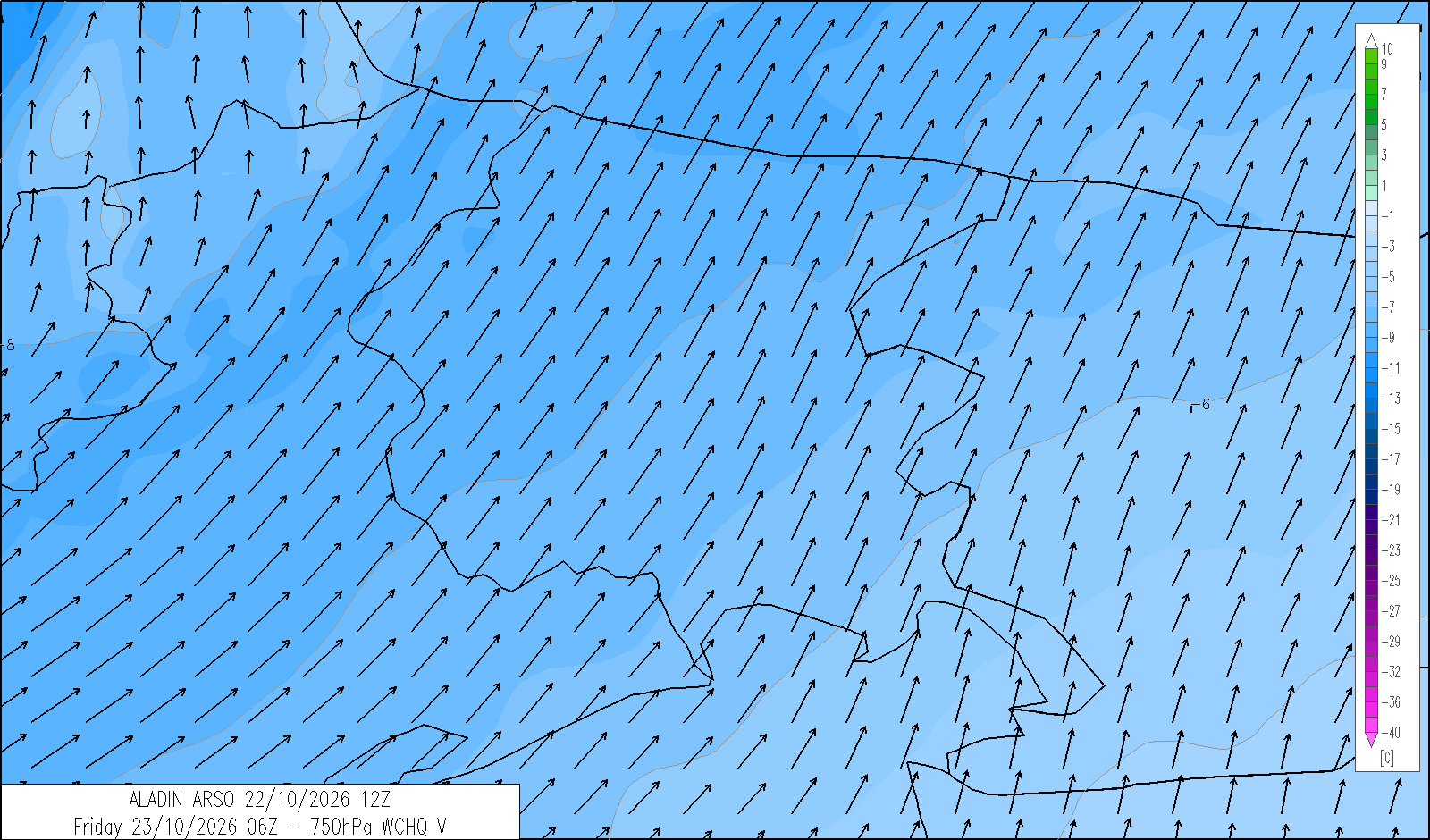
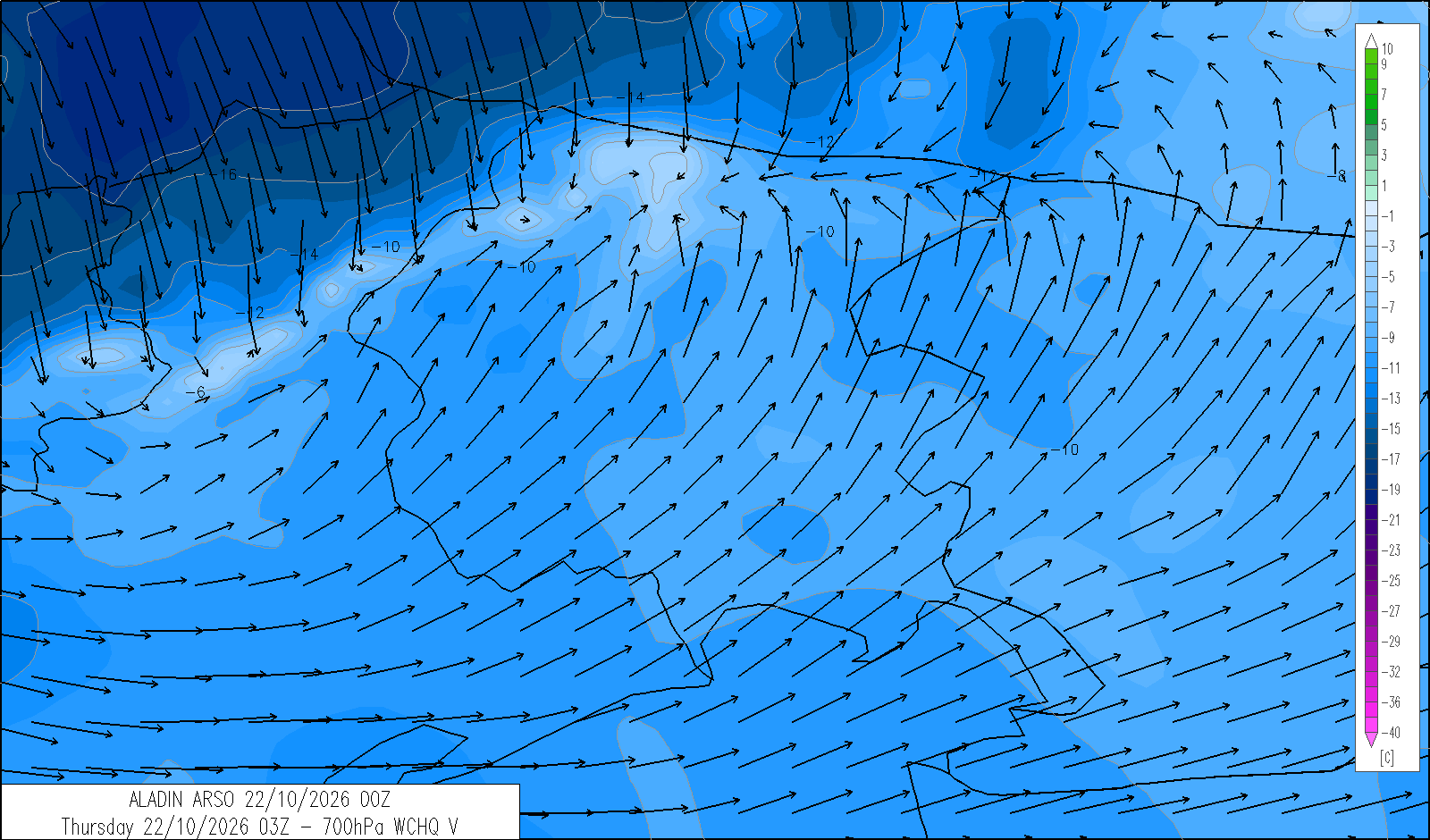
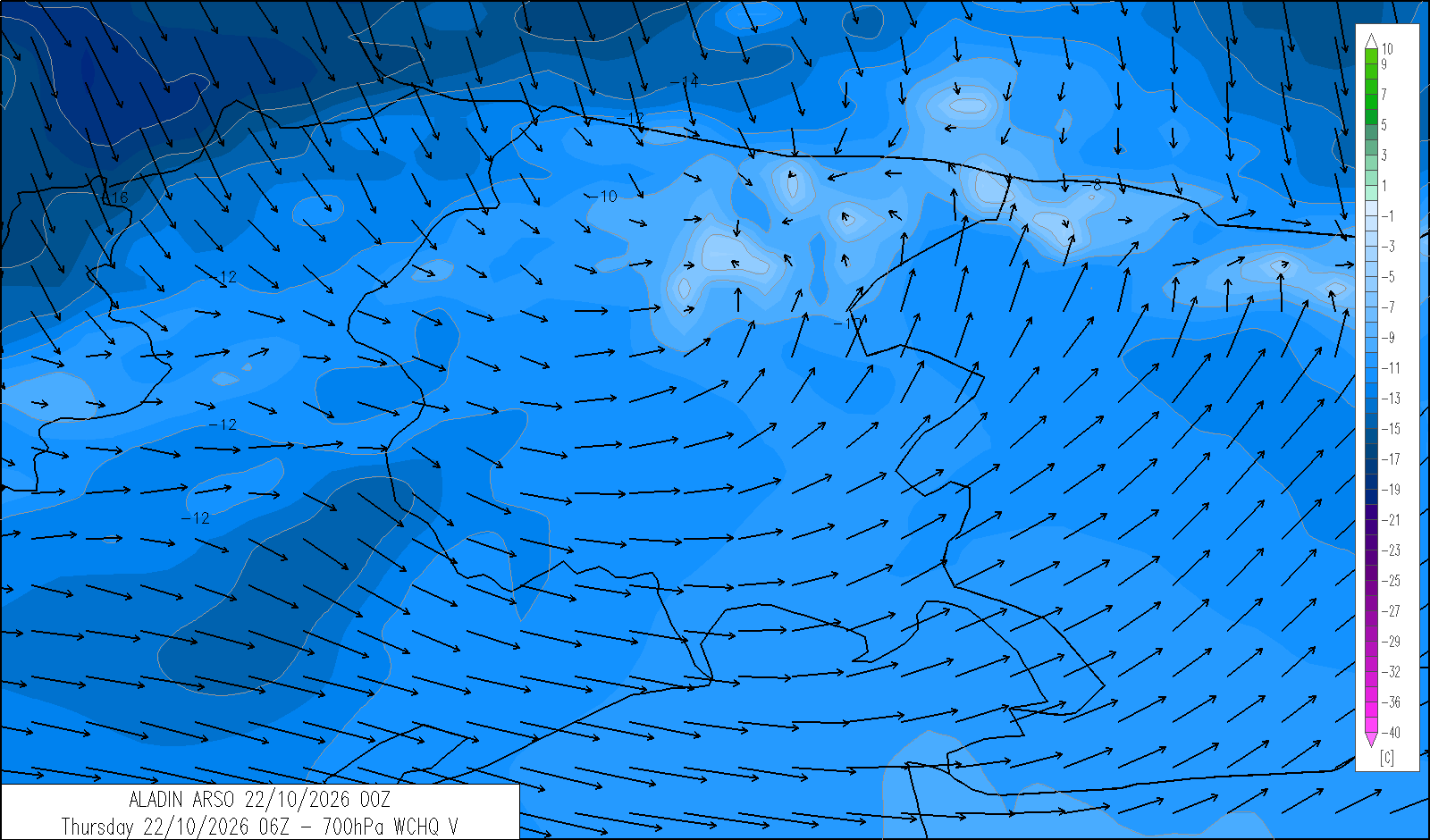
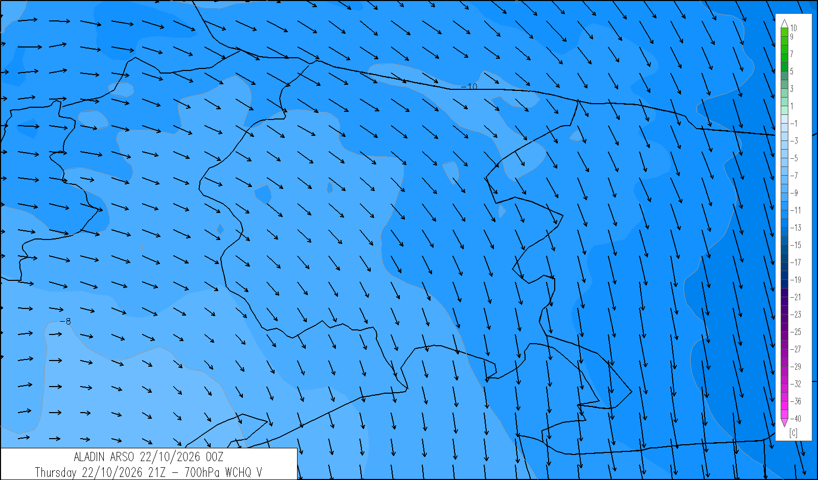
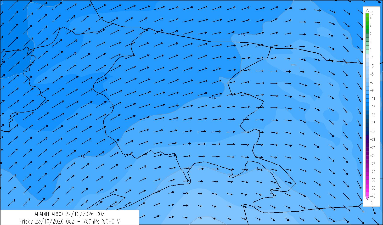
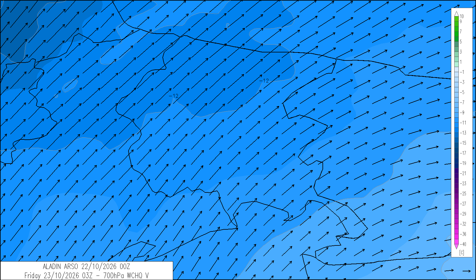
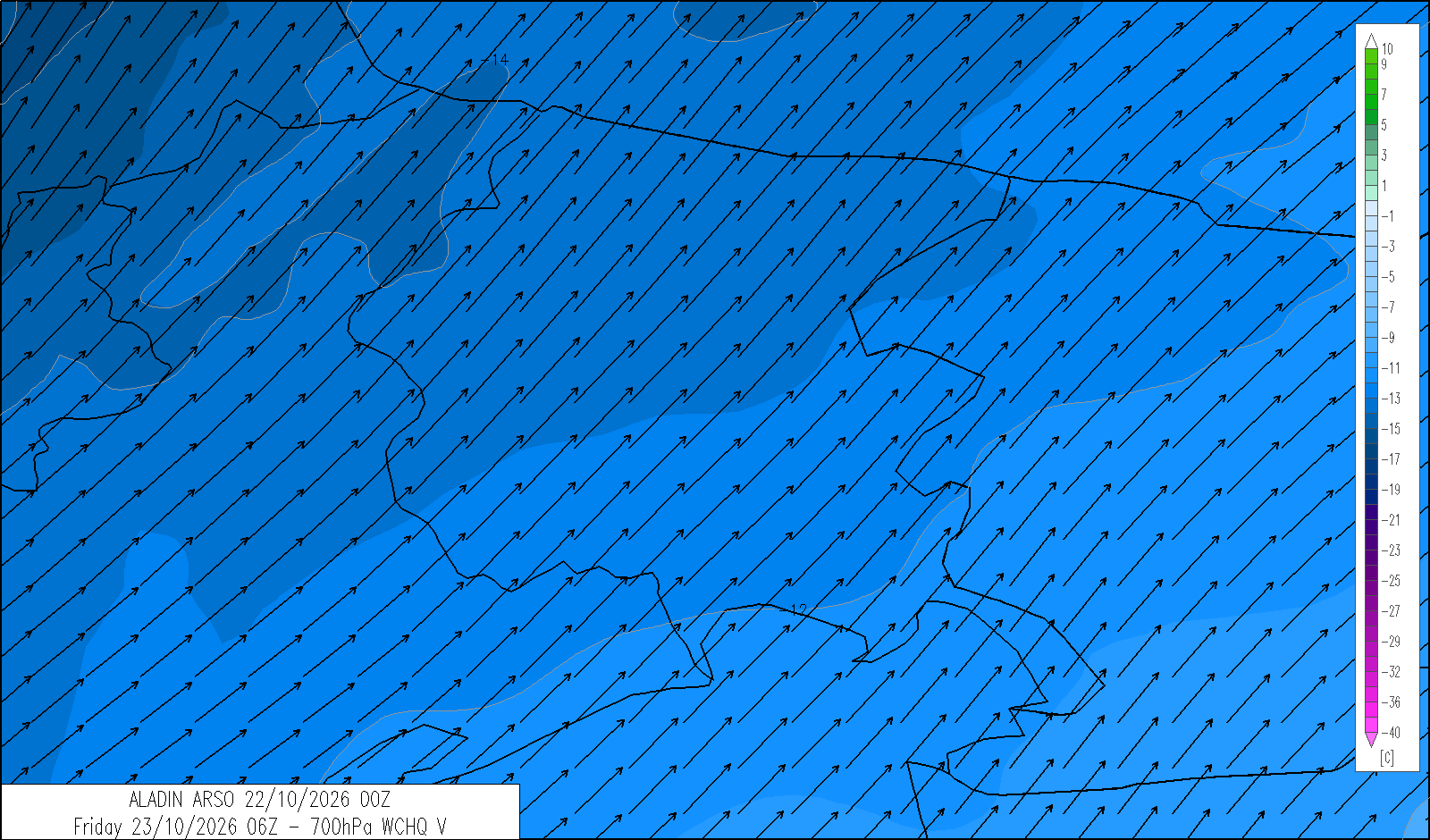
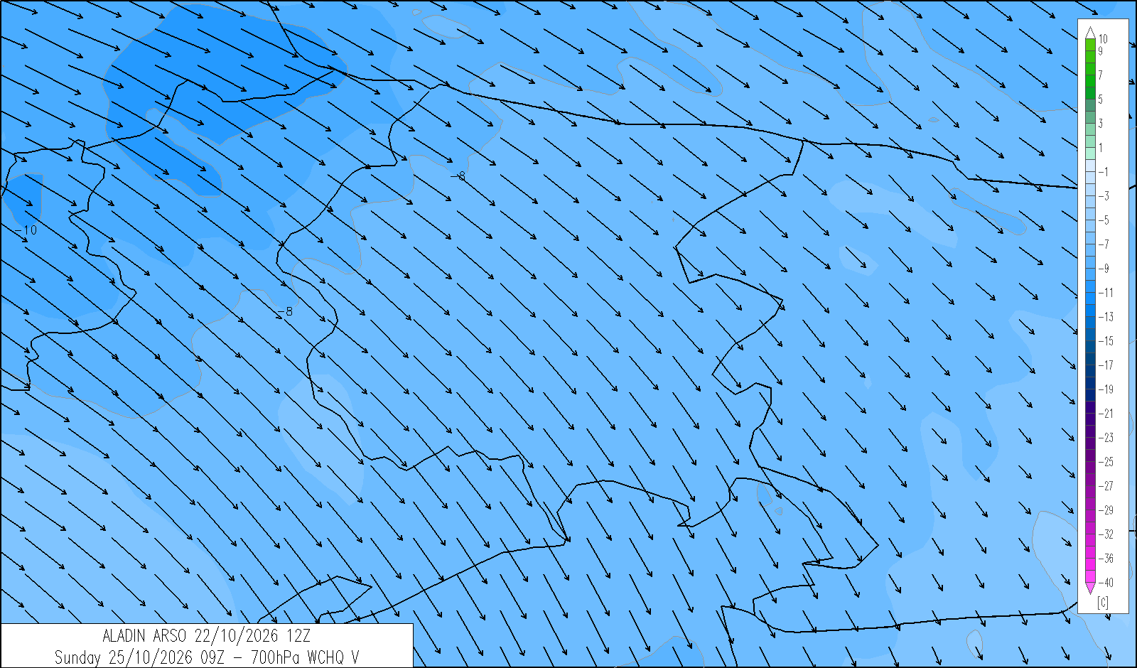
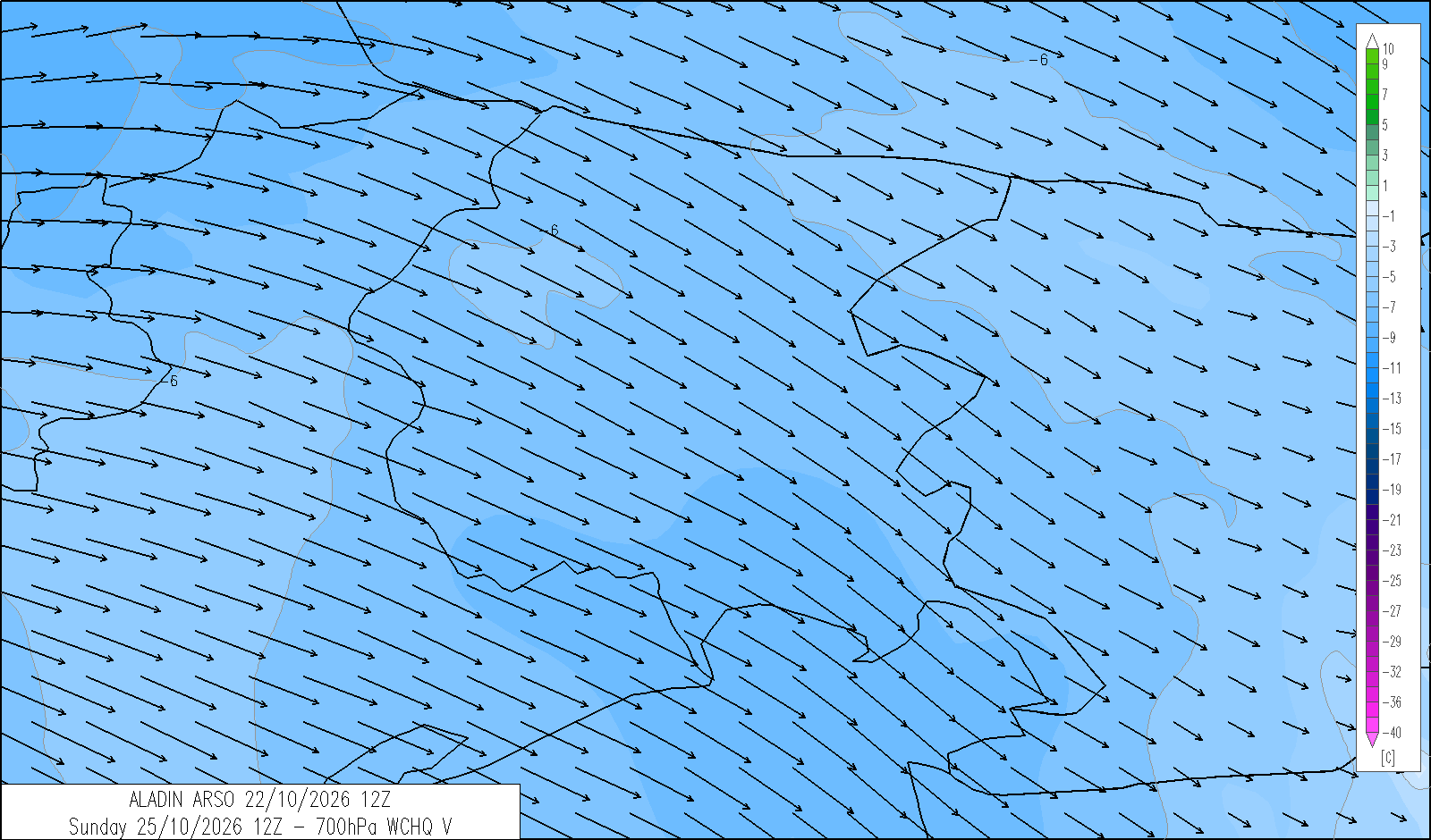
freezing level
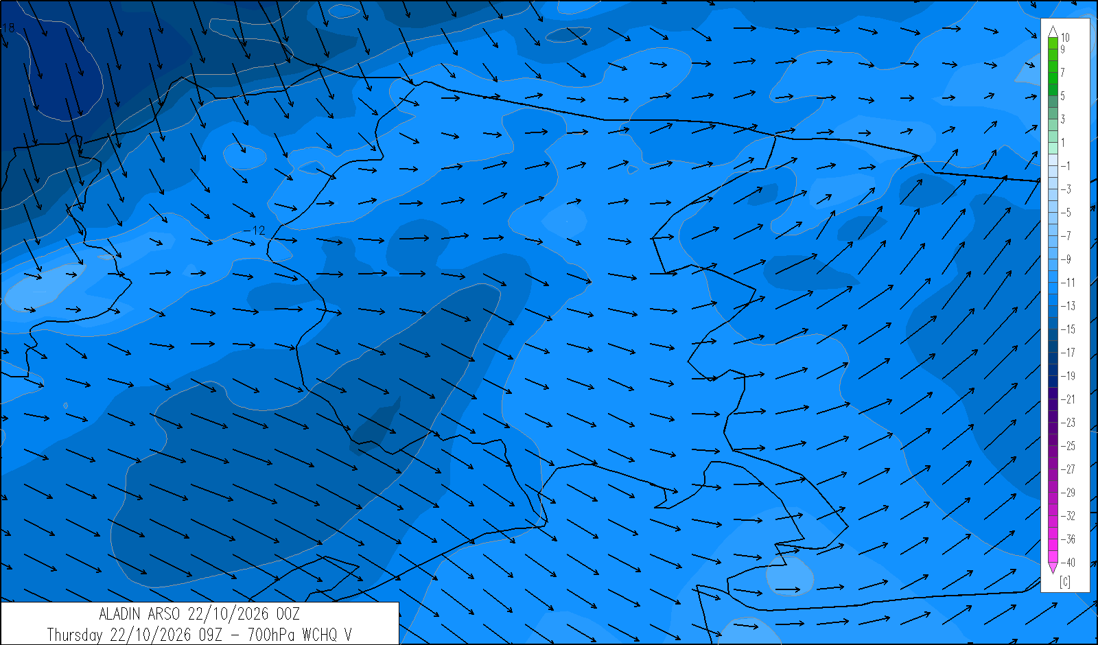
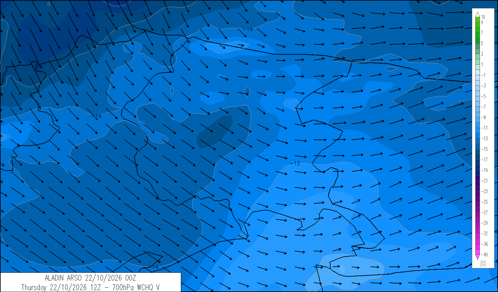
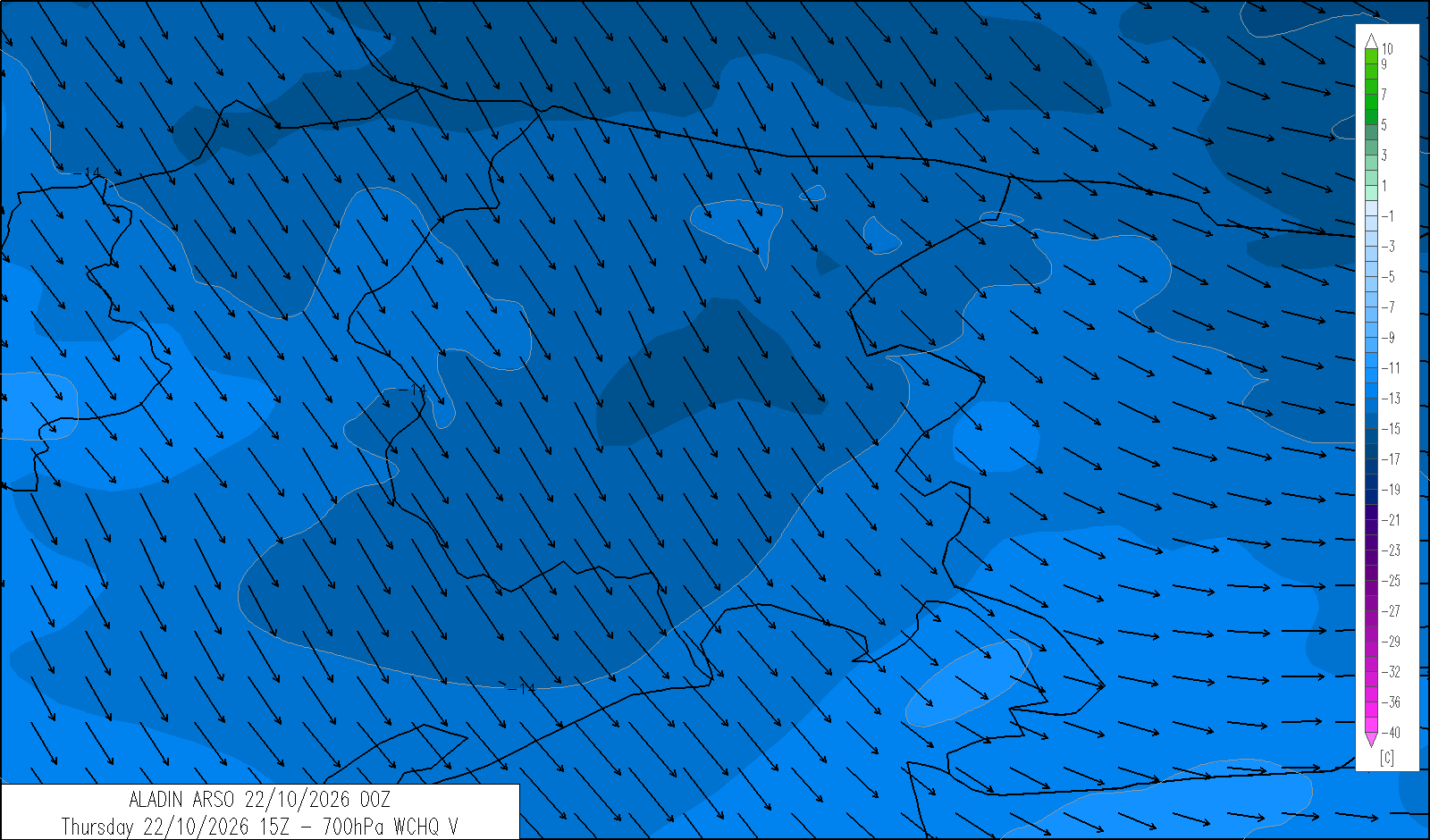
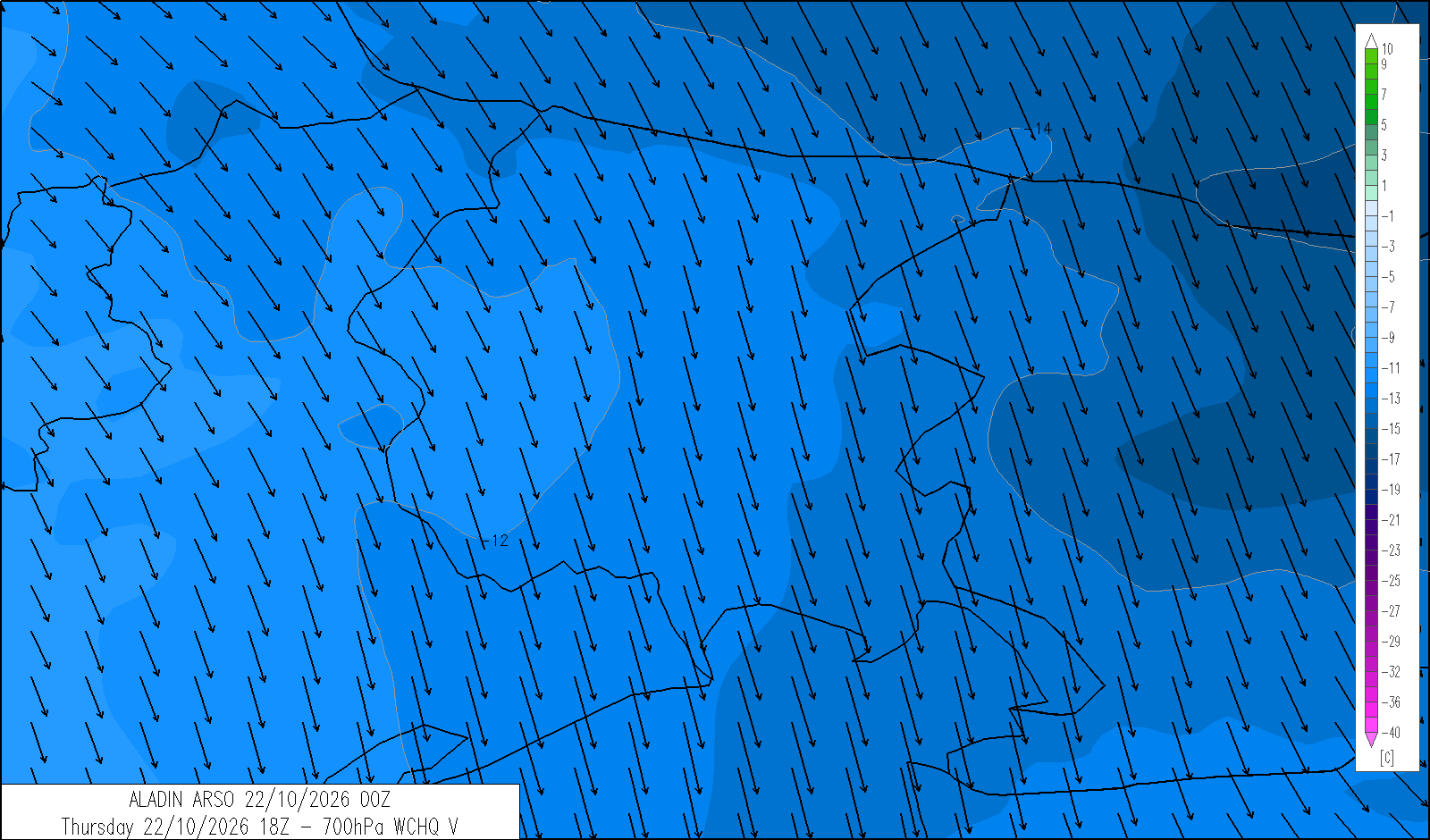
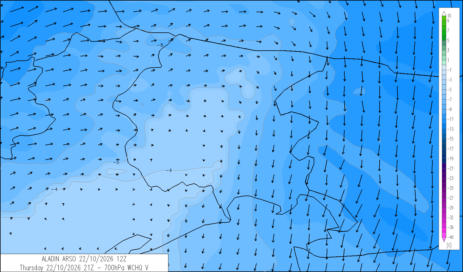
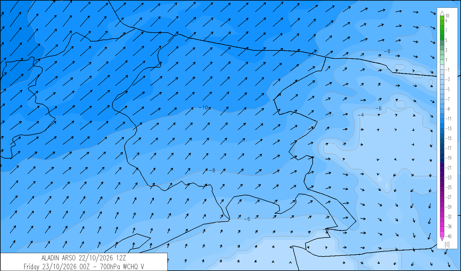
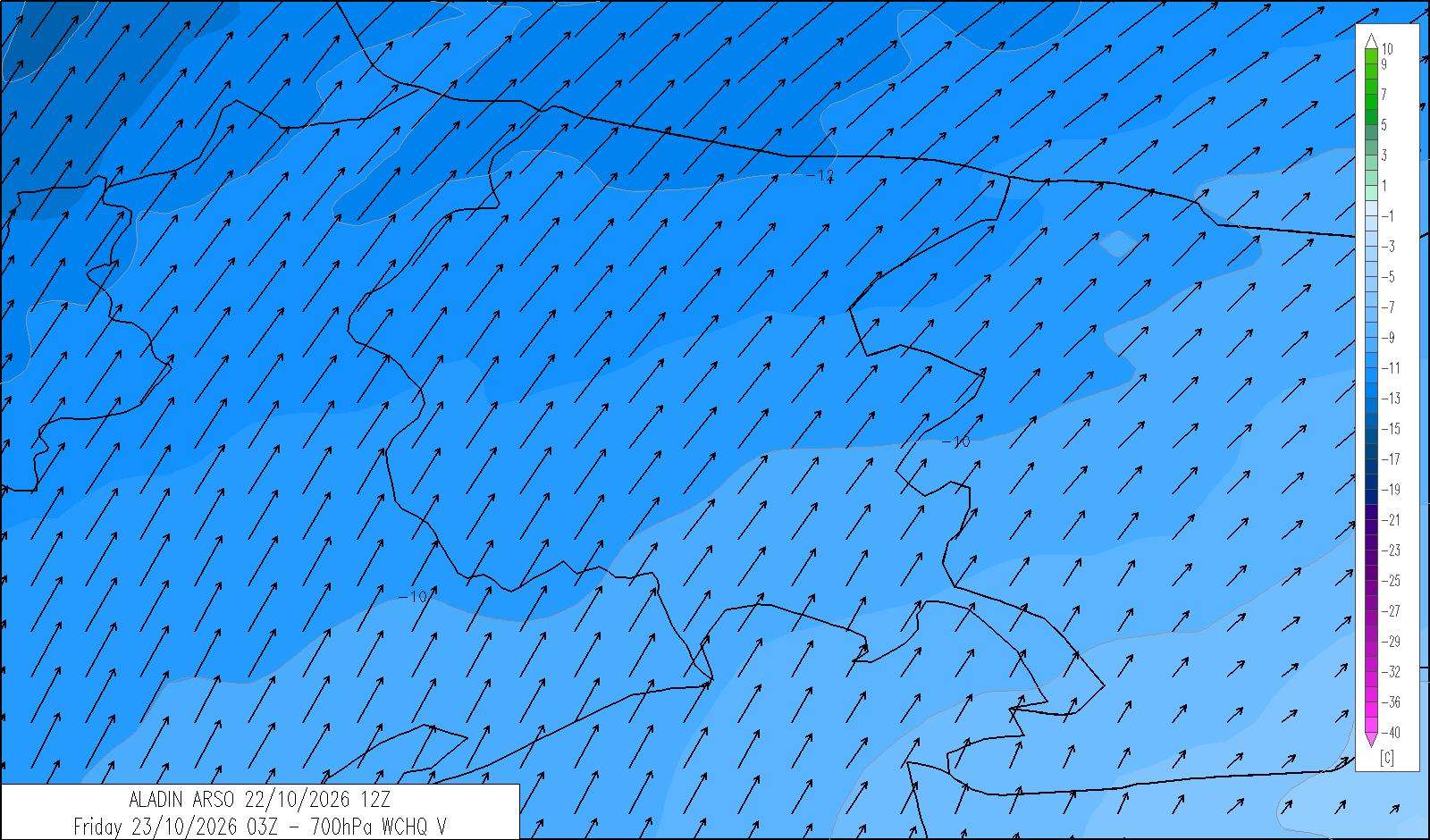
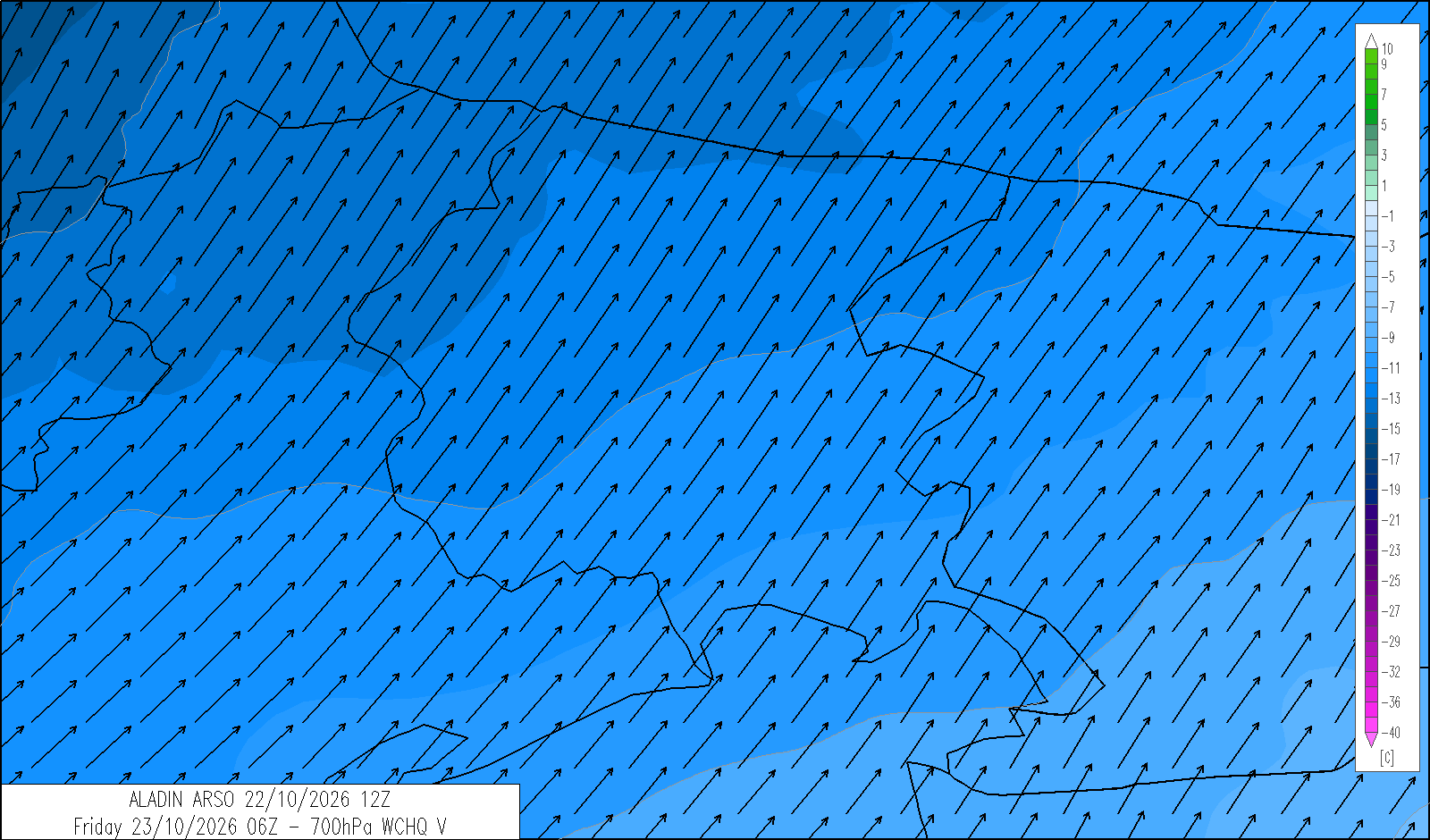
 monitor (omnia)
indice UV massimo
Monti, 22.10.2026
Indice UV - massimo giornaliero

OGGI
dalle 13 alle 14
3 
DOMANI
dalle 12 alle 13
3
DOPODOMANI
dalle 12 alle 16
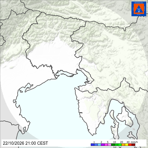
radar - real-time precipitation
satellite - infrared